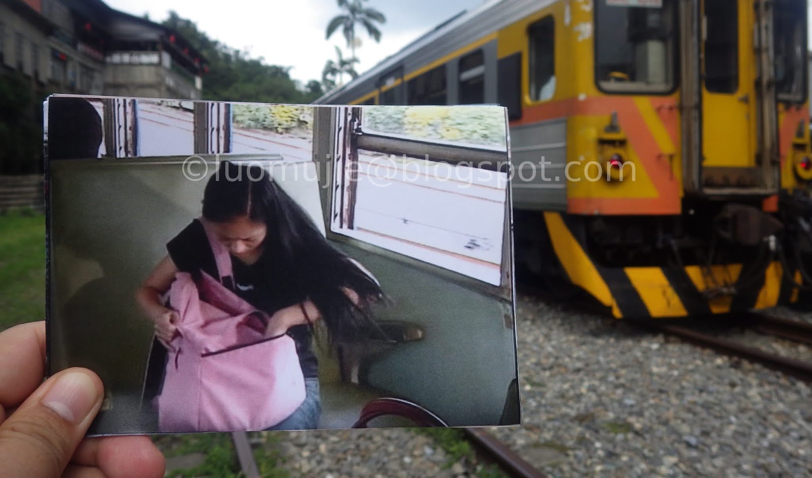
Shakadang. What a mysterious name for a stream in Taroko National Park! I first heard of it two years ago when my friends and I were planning our canyoneering adventure in Hualien. Shakadang was one of our options. However, its strange name wasn’t enough to give us a big reason to choose that place for river trekking. We decided to explore the Golden Grotto (黃金峽谷) instead and the place remained a mystery to me for a very long time.
 |
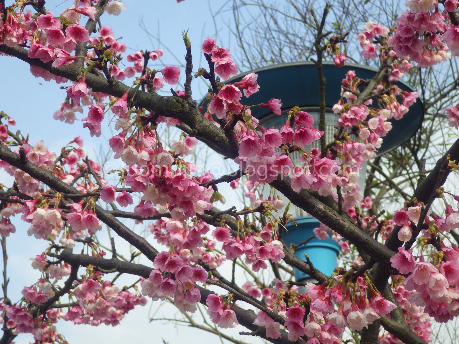
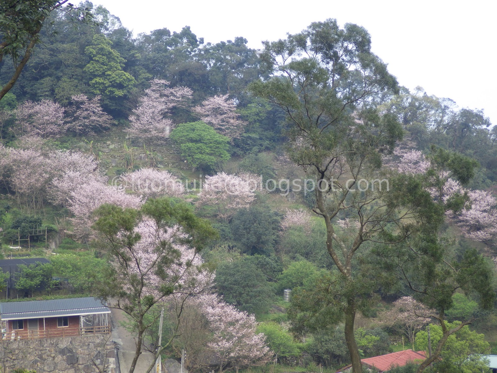
| Shakadang River |


 |
| Shakadang Trail |

The Shakadang River is one of the tributaries flowing from the mountains in Hualien down to the Liwu River to become a bigger body of water. A trail runs along its edge made originally by the aboriginal people who once lived here. Visitors inside the Taiwan Tour Bus easily ignore this place after the public bus had passed through a tunnel from the Taroko National Park Headquarters. Those who pressed the stop button at the trail entrance are easily drawn to get close to its waters.


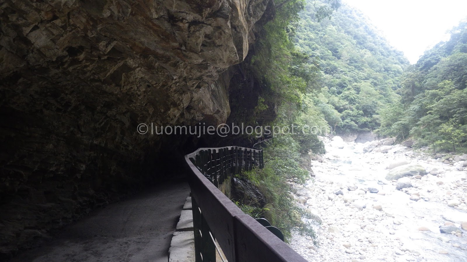
Stone lion dogs. I was quick to notice them upon getting off the bus. The Shakadang trail entrance is located on top of a red arched bridge with stone lion dogs sitting on both of its sides. They were there acting as little guardians of Shakadang. A few meters from the bus stop was an archway. It serves as a marker. A portal to an unknown realm.


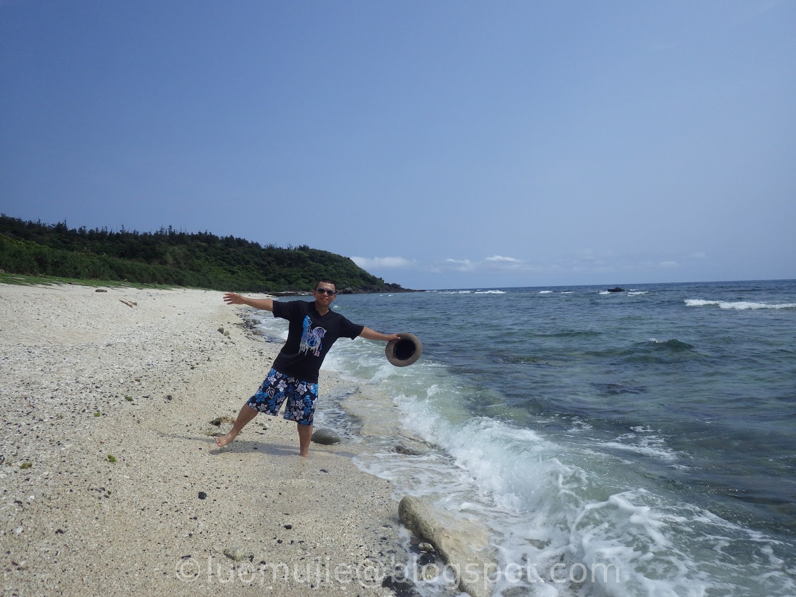
Entering the trail was like going down to the underworld. With the bridge representing as heaven and the jagged edges of the stone roof of Shakadang trail as hell, the only way for humans to travel between them is the zigzag staircase tower. Warnings of snakes and other dangers are visibly seen by visitors as they go down the staircase. At the base, you become closer to the stream. Its crystalline blue waters is an endless temptation to all those who cannot resist looking at it.


The Shakadang trail cuts through rocks along the edge of the river making it somewhat dangerous. If you are a tall person, then you need to watch your head. The stones above are a bit sharp that it can hurt your skull if you are careless. On a rainy day, the rocky portions of the trail become a waterfall curtain making it useless as a cover.


Speaking of the rain, the trail is a landslide prone area. With nets providing protection against big rock rolling down from the mountain slopes, it is a solid evidence that the place is alive. There are also people living in Shakadang! Visitors are reminded that some areas are ancestral lands of the aboriginal people and no one should enter them.


Stop, look and listen. The Shakadang Trail is not only a scenic spot in Taroko. Villagers use it as transportation route and motorcycles can sometimes be seen running in the 4 km “road”. It often happens early in the morning or during lunchtime and visitors are advised to stay on the sides if a vehicle is coming.


With all of the marble-clad beauty of this scenic place in Taroko, what can be seen on the far end of the Shakadang Trail? According to Google Maps, there will come a point that visitors must make a U-turn back to where they came from. But do not get fooled by what you see on the internet because the Shakadang River can expand so rapidly during torrential rainfall and it can engulf portions of the trail along its banks.


At the time of my visit, construction was being done on the low-lying portion of the trail and I managed to have some time on the stream. The water was so inviting but as the mountain tops become covered with dark clouds it becomes dangerous to stay longer. I tried to continue my hike but the sight of construction workers and the muddy walkway discouraged me and killed my eagerness to finish the trail. The rain then had started to fall. From small droplets, it had become bigger and bigger driving away visitors to finish their hike. It was like the famous scenic trail in Taroko has a mind of its own. It will always try to keep its secret whenever it sees the opportunity.


Shakadang. The name means 'molar' in the Sedik tribal language. They are the big boulders in the river that took the shape of a molar tooth. Shakadang. It will always be Taroko’s mysterious valley trail.
**************************************
Notes: Aside from the Taiwan Tour Bus Taroko Route (Bus 1133A), Shakadang Trail is also served by buses 302, 1126, 1133 and 1141. The road going to Shakadang Bridge only runs in a single direction. Visitors returning to Hualien Station or Xincheng Station must walk back to the Taroko National Park Headquarters through a tunnel or ride the next bus uphill to the mountains then ride a bus going down to the city.
From Xincheng Station: Bus 302 and 1133
[1] Bus 302 (Xincheng Station -> Tianxang)
*A one-day ticket costs NTD 150
Departure times from Xincheng Station: 7:10/8:00/9:40/10:30/11:20/13:00/13:50/14:40/15:30/16:20/17:10
[2] Bus 1133 (Hualien -> Tianxiang)
Departure times from Hualien Station: 10:50 and 13:50
From Hualien Station: Bus 1126, 1141 and 1133
[1] Bus 1126 (Hualien New Station -> Luoshao)
*This bus starts from Hualien Station. Only one bus leaves at 6:30 am.
[2] Bus 1141 (Hualien→Taichung(Lishan))
*Only one bus leaves Hualien Station at 8:40 am.
[3] Bus 1133 (Hualien -> Tianxiang)
Departure times from Hualien Station: 10:50 and 13:50
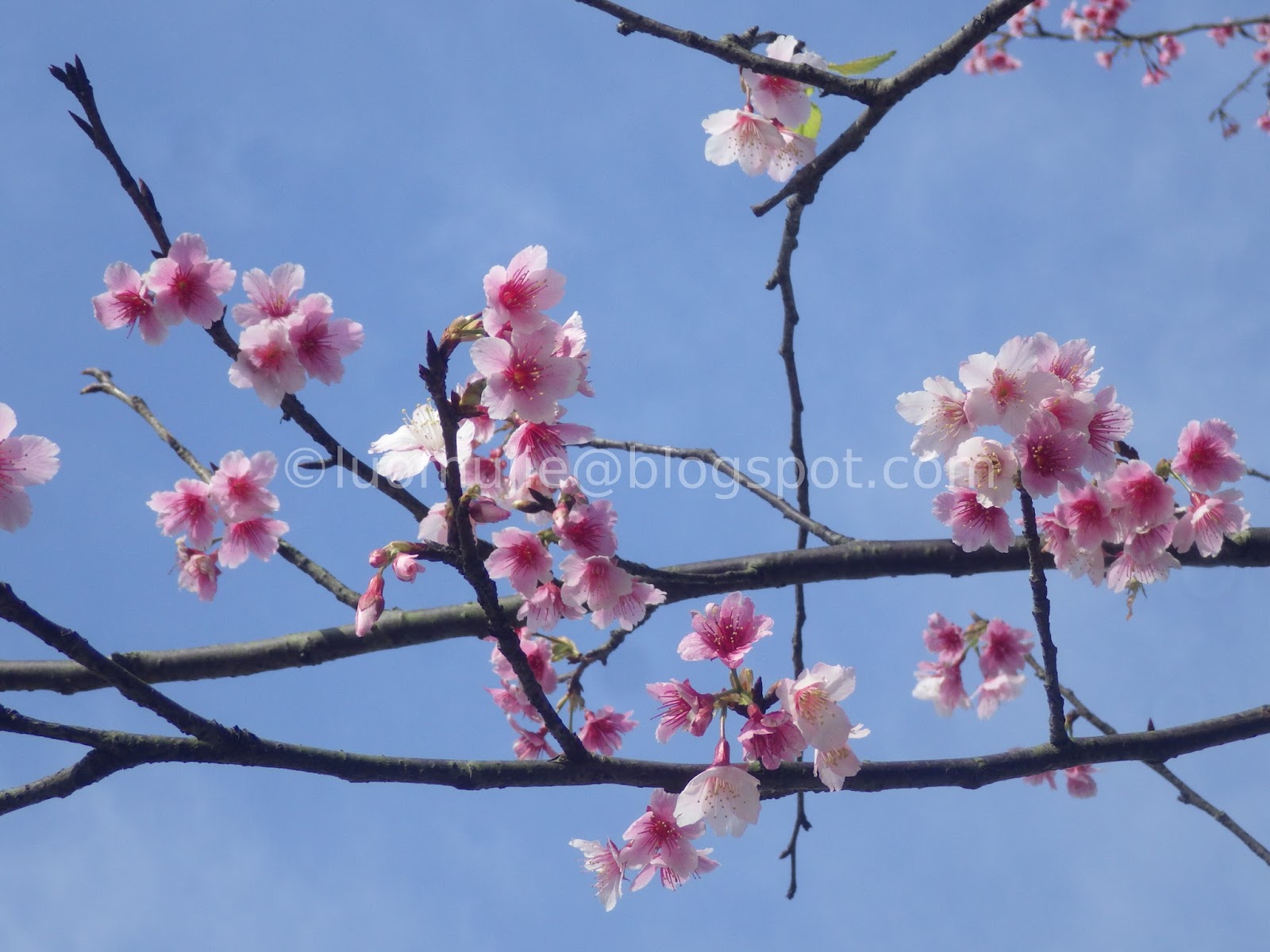
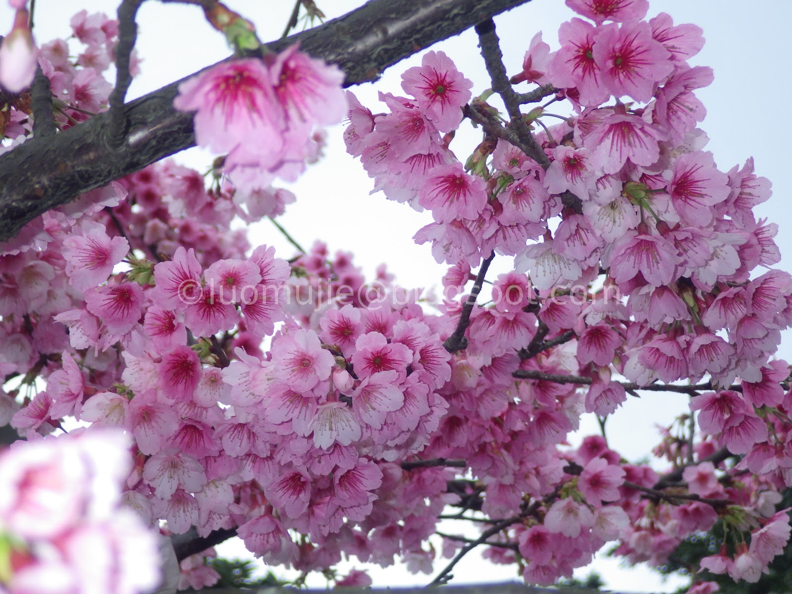
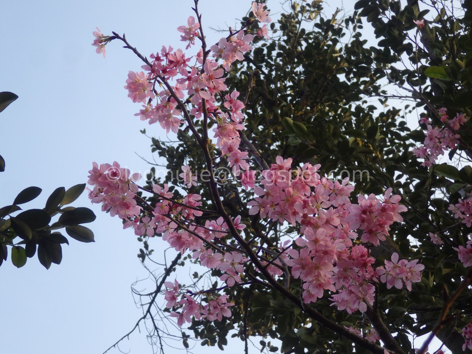
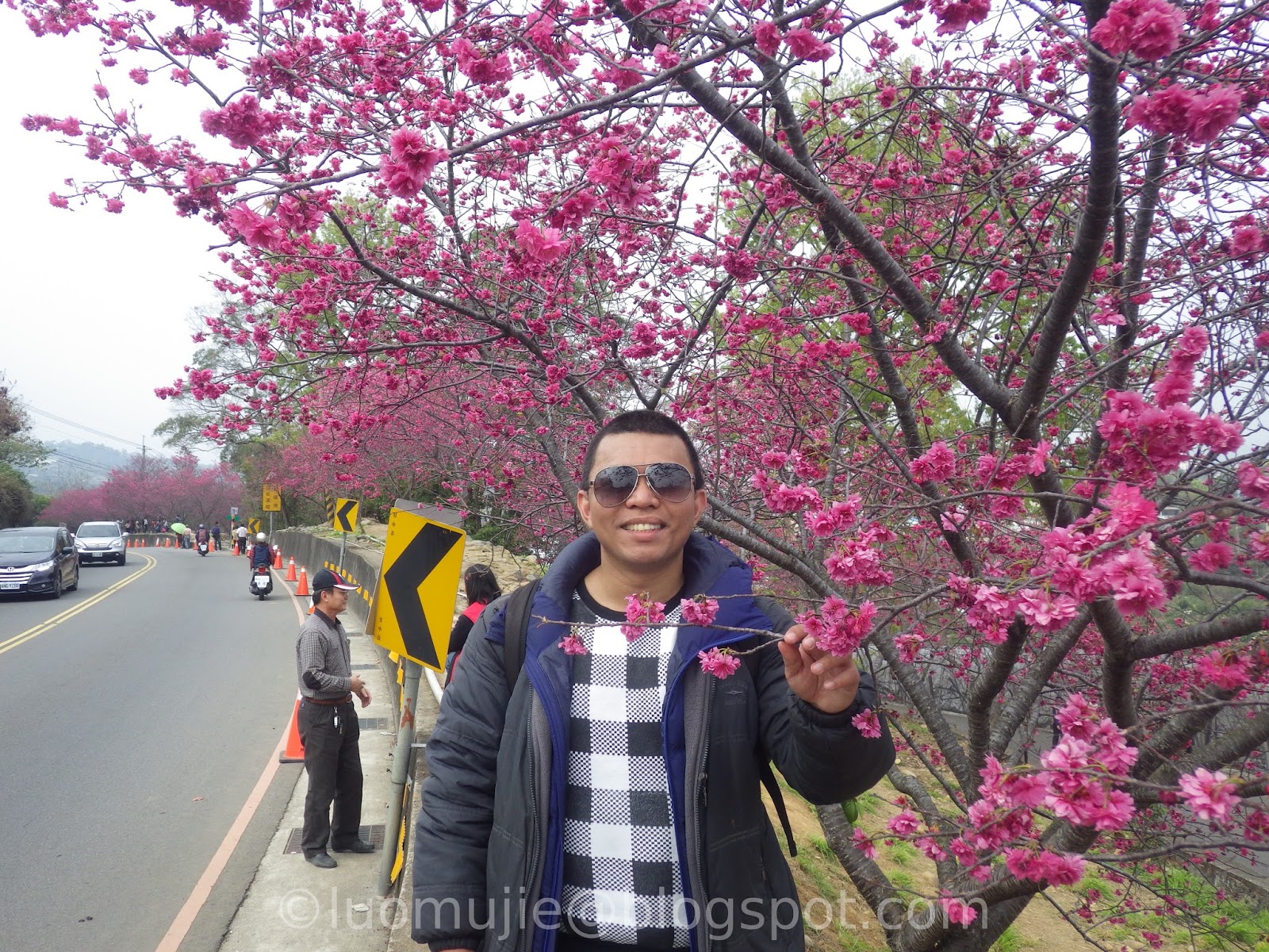
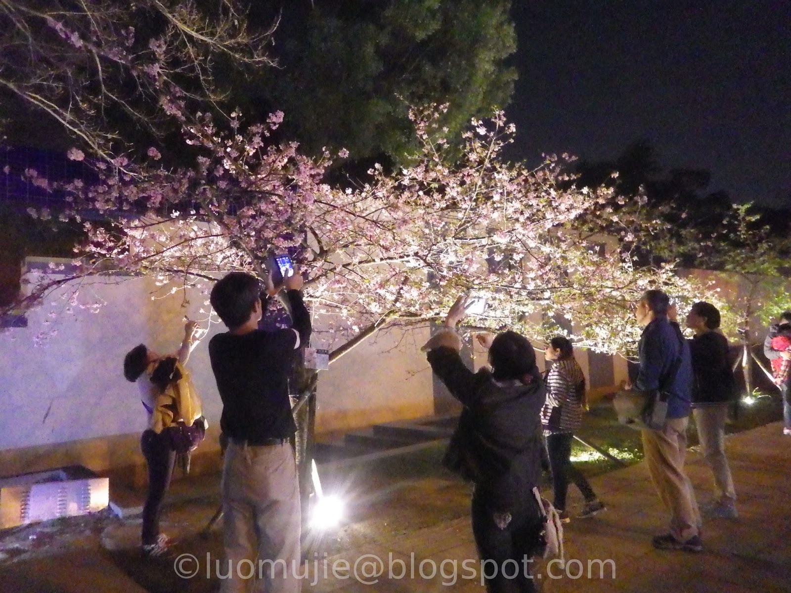
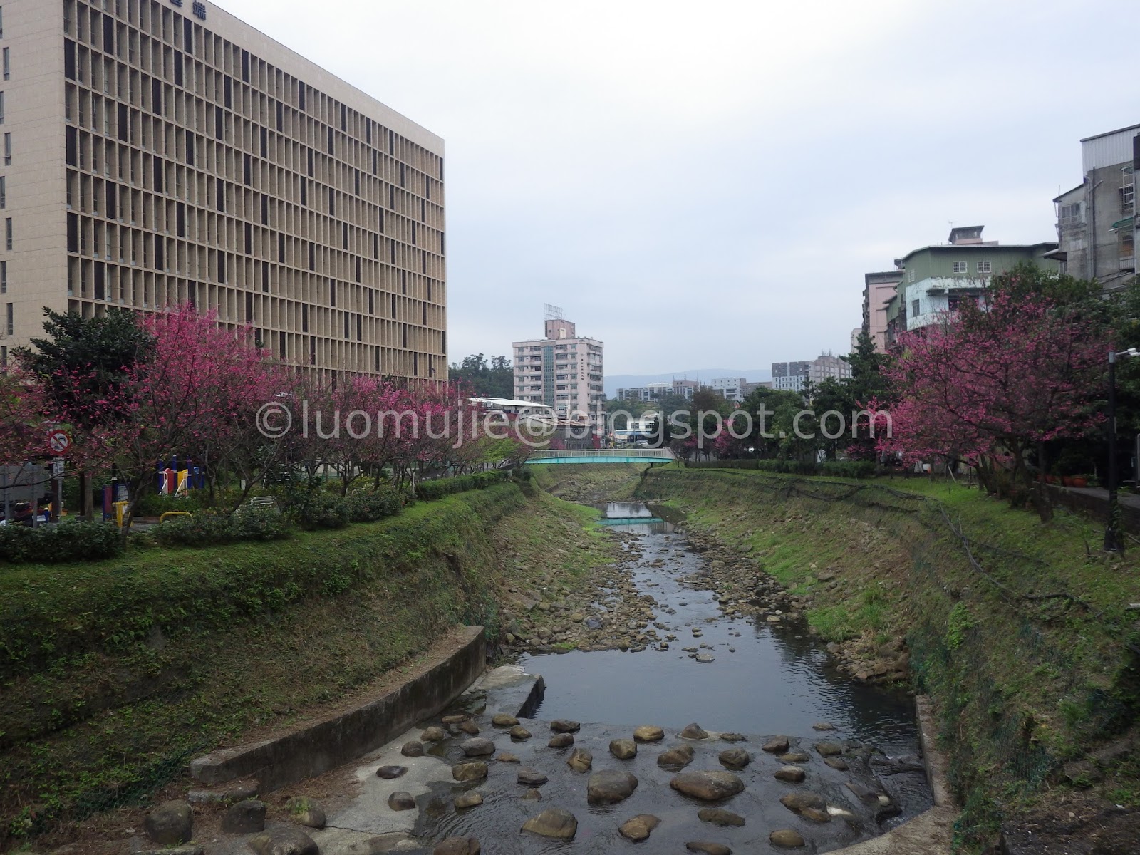
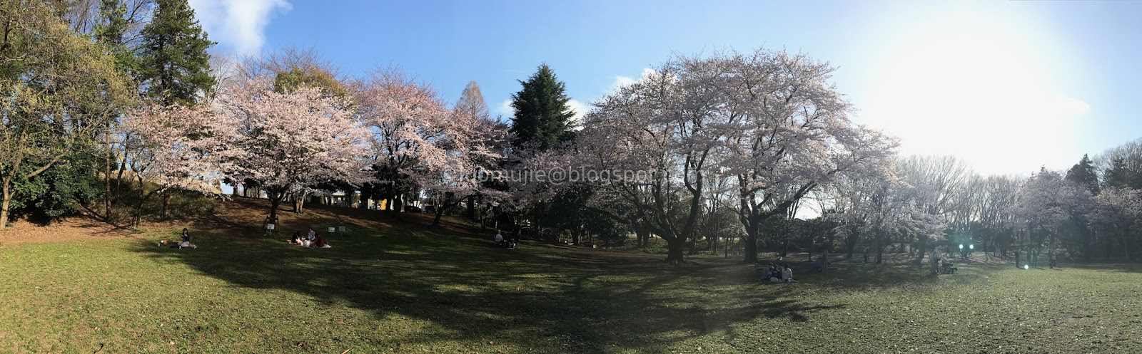
Sakura Series - Taiwan
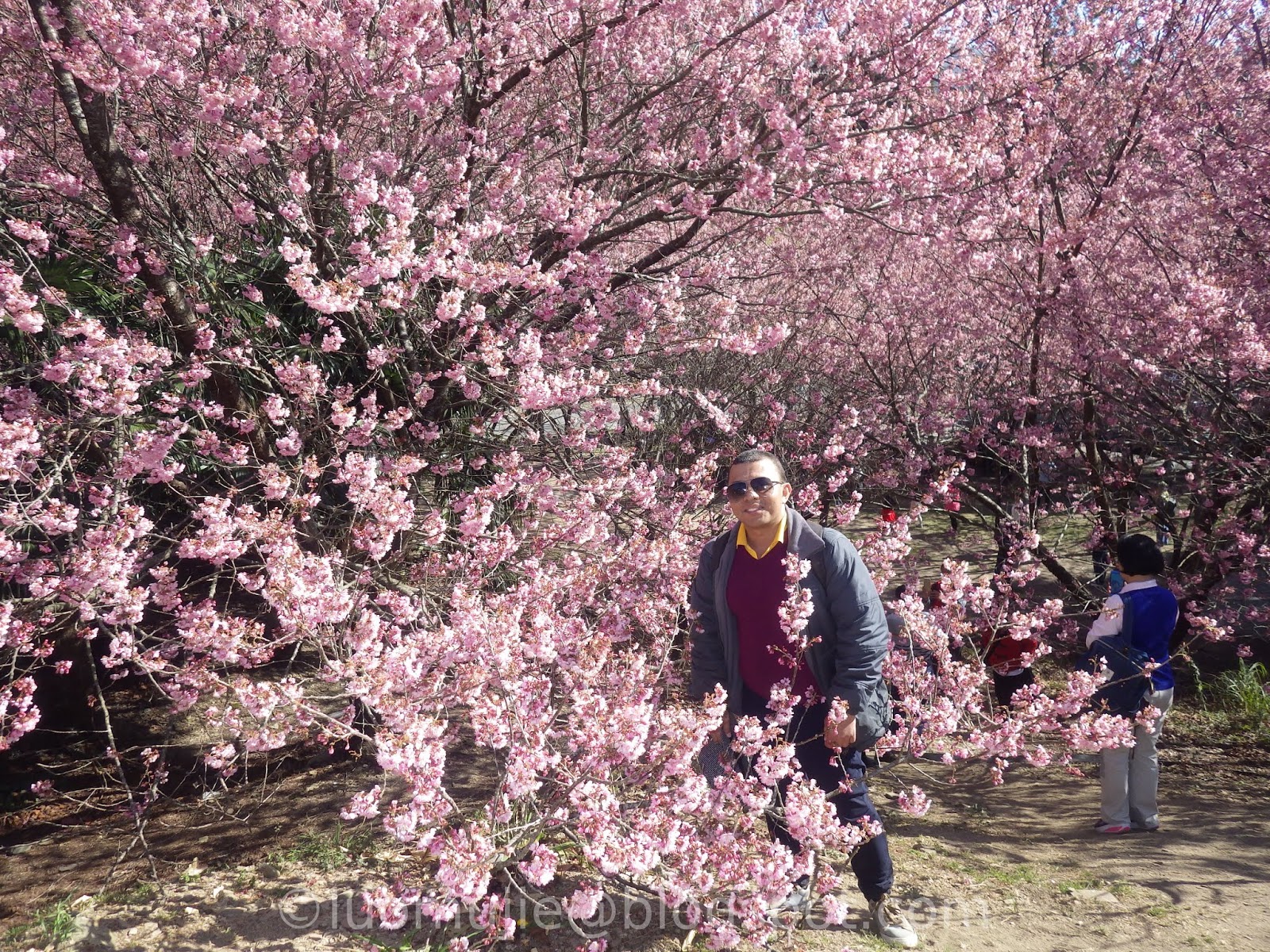
2024 Forecast
Taipei 101 first flowers
Tianyuan Palace backyard

Taipei Flower Test Center

Pingjing St. Lane 42
Broadwood Park

Sunshine Sports Park kawazu sakura

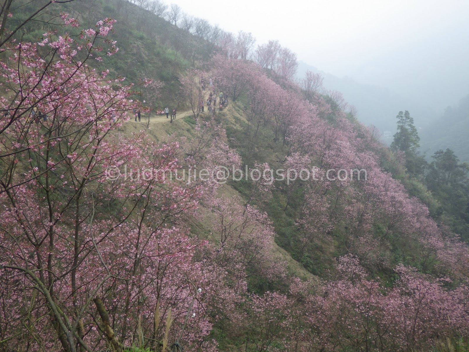
Wuling Farm (武陵農場)
SYS kawazu sakura

Formosan Aboriginal Culture Village
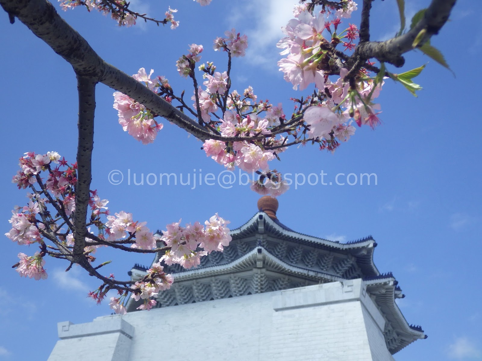
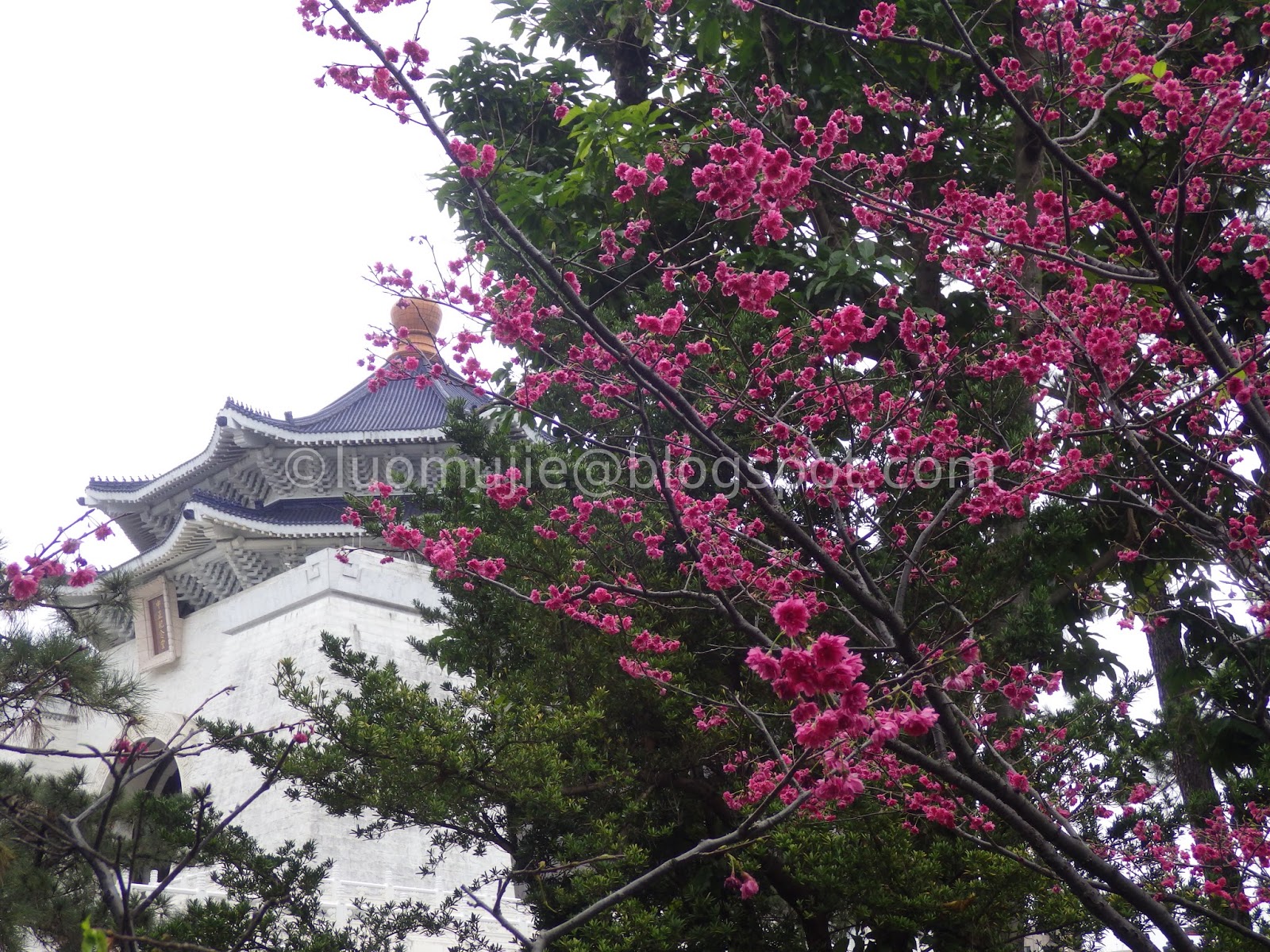
CKS Memorial Hall
Shibafen Yoshino Sakura

Hope River

Dongfang Temple

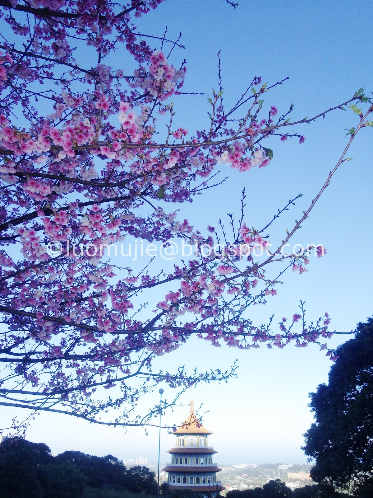
Tianyuan Palace

Neicou Stream Trail
Orange Garden Cafe
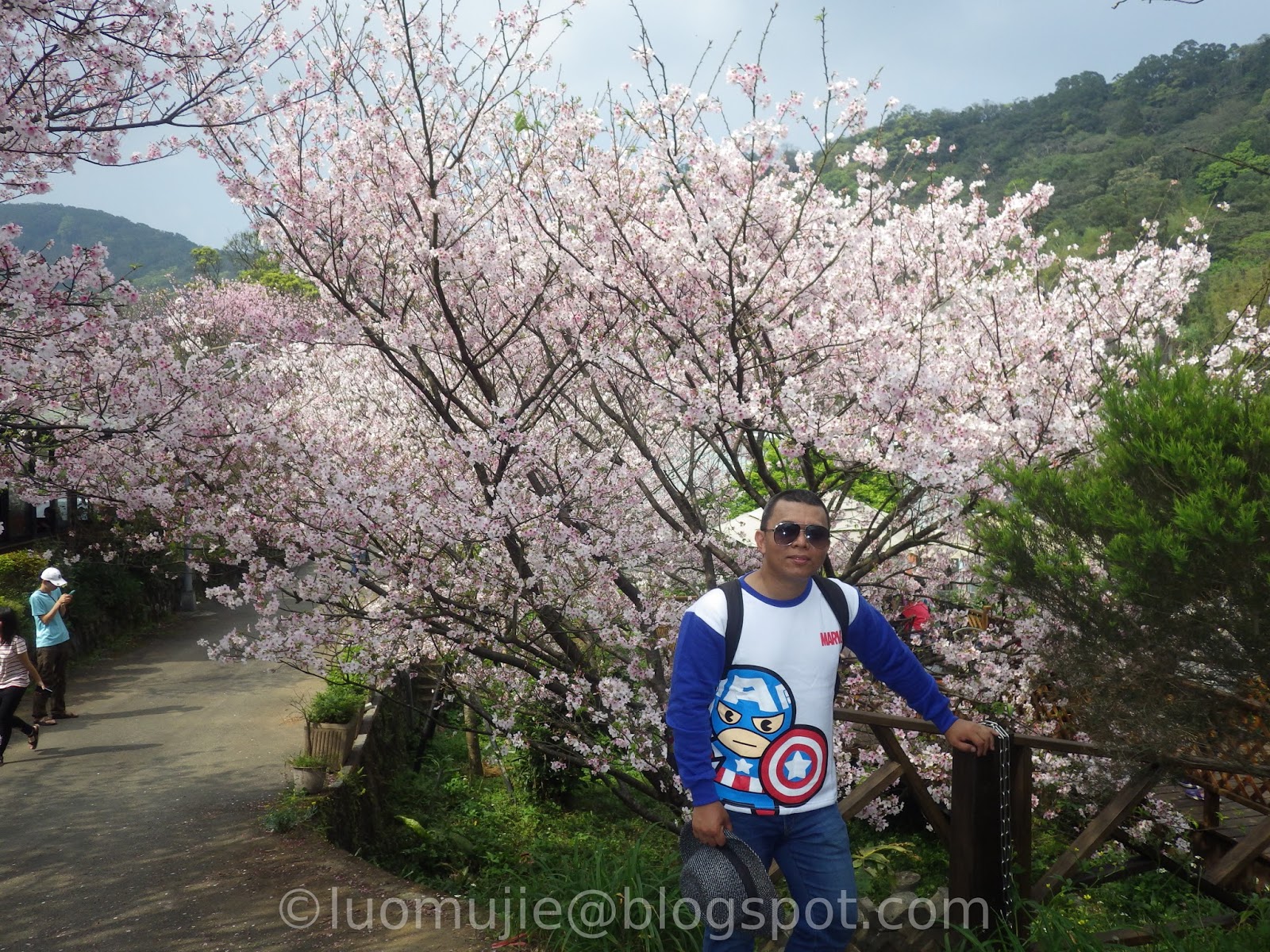
Yangming Park Visitor Information Center

Yangming Park Service Center Bus Stop
Huashan Road

Qianshan Park
Zhongshan Hall Entrance
Tenglong Sakura Farm
Flower Test Center Shōwa Sakura
Neihu Creek Trail
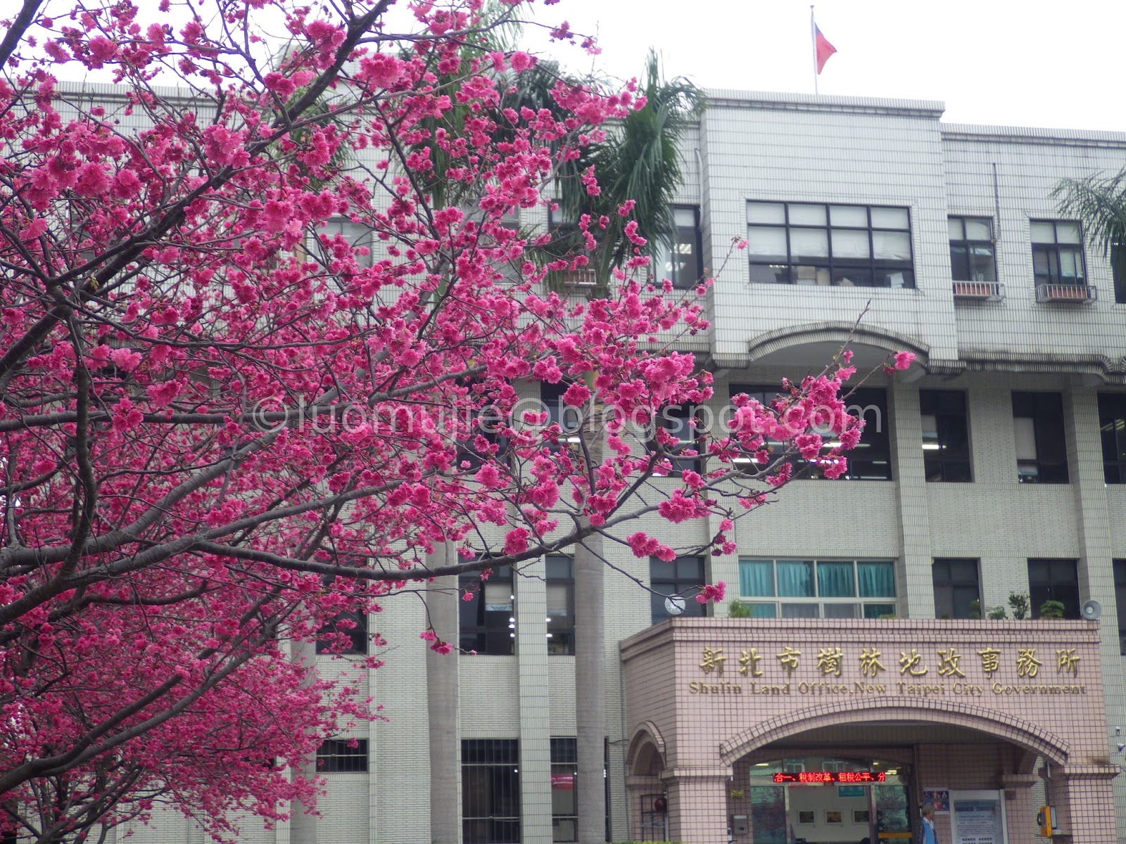
Shulin Land Office
Xióng Kōng Cherry Blossom Forest

Lung Yen Sakura Forest

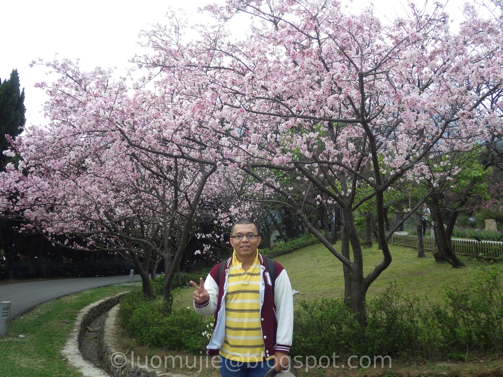
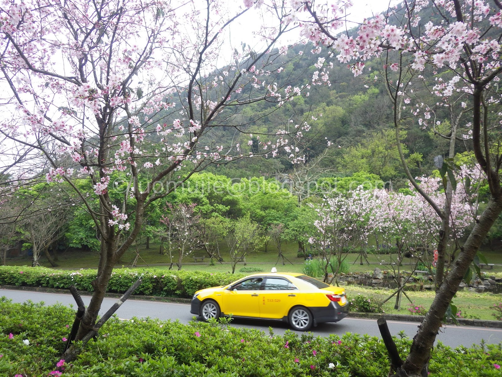
Yangming Park cherry stream
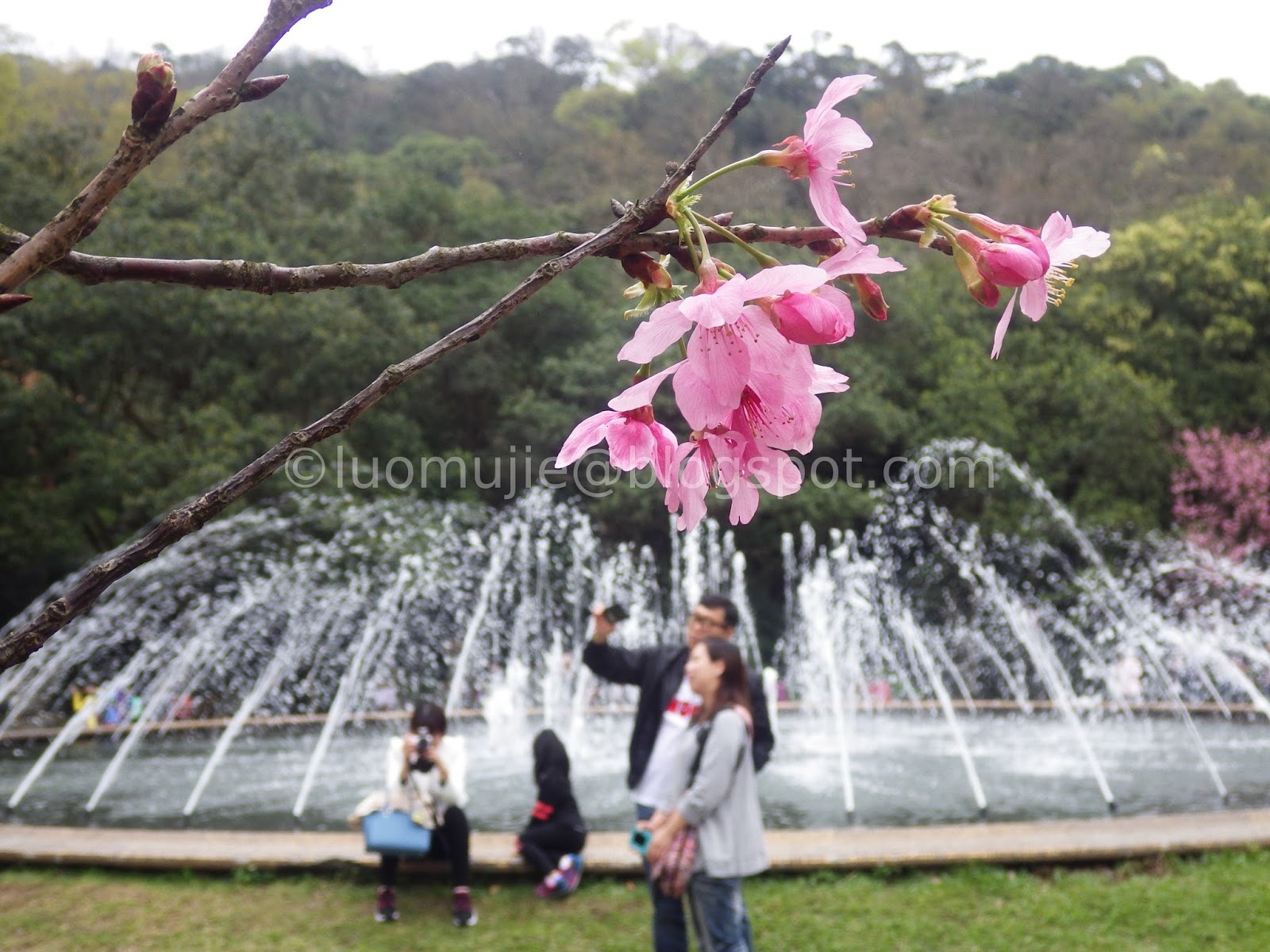
Yangming Park fountain

CKS Memorial Hall Tairyō sakura
Wugu District Tianyi Road
CKS Memorial Hall yaesakura
Loving Farm
Yong Long Farm
Zhongbaling Sakura Road

Sun Link Sea
Tai'an Police Station
Cherry Hill Slope
Hsinchu Park
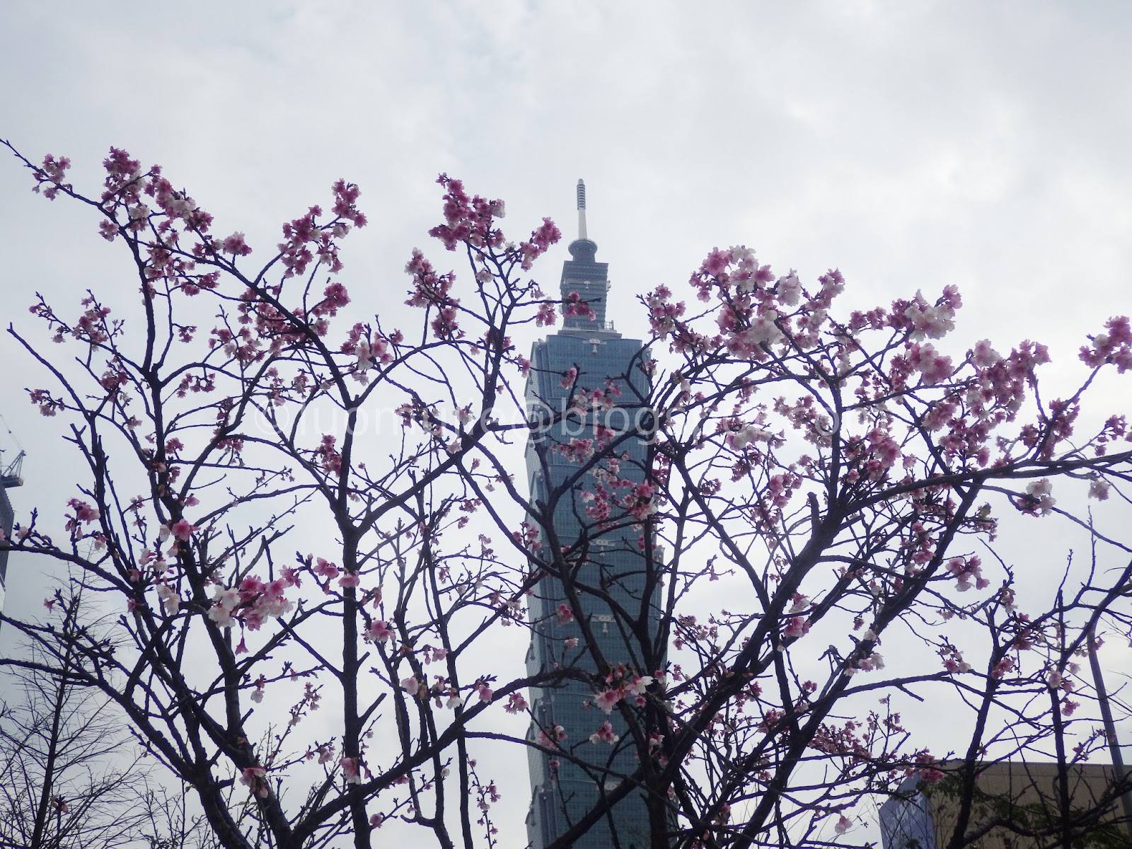
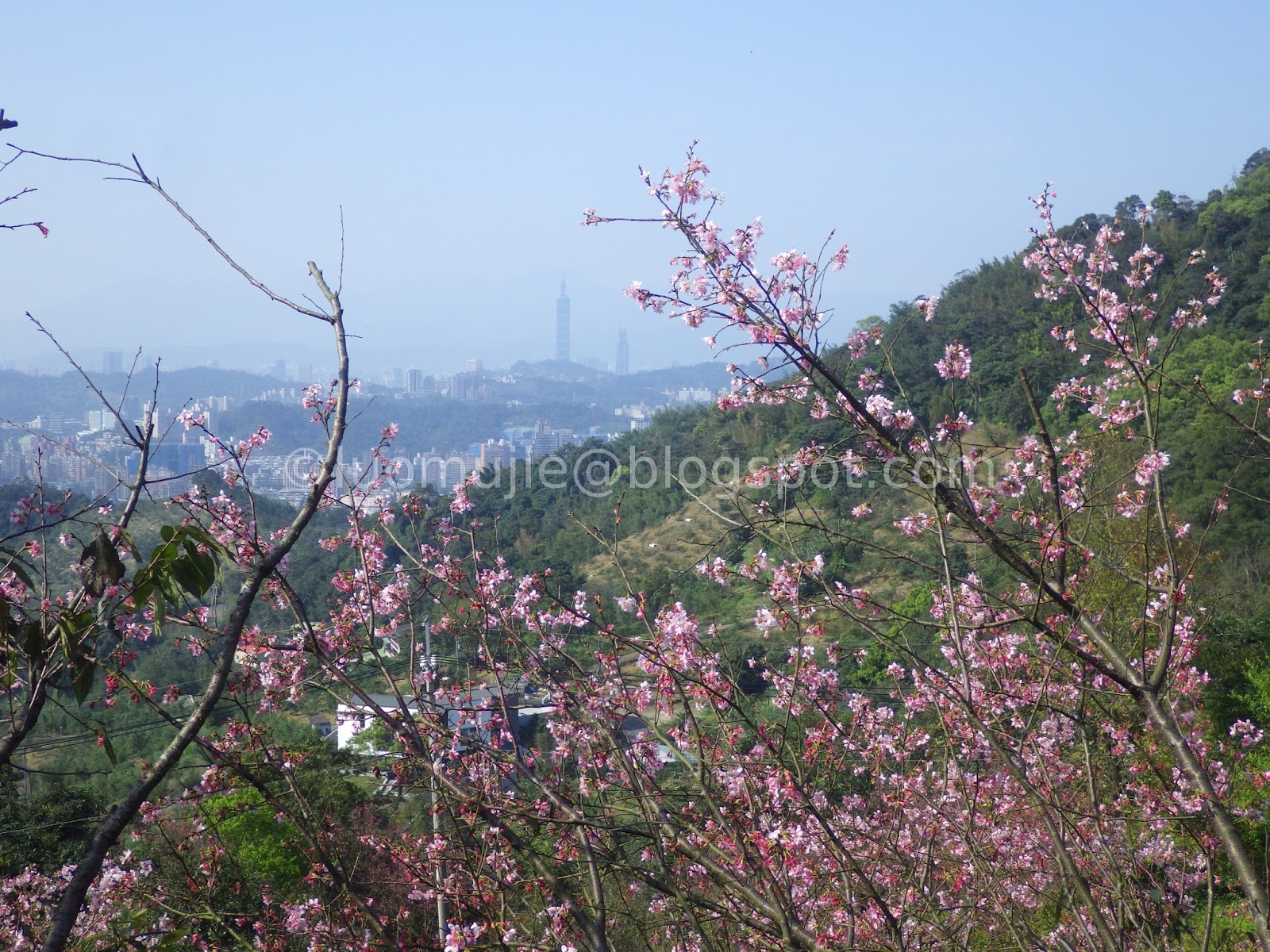
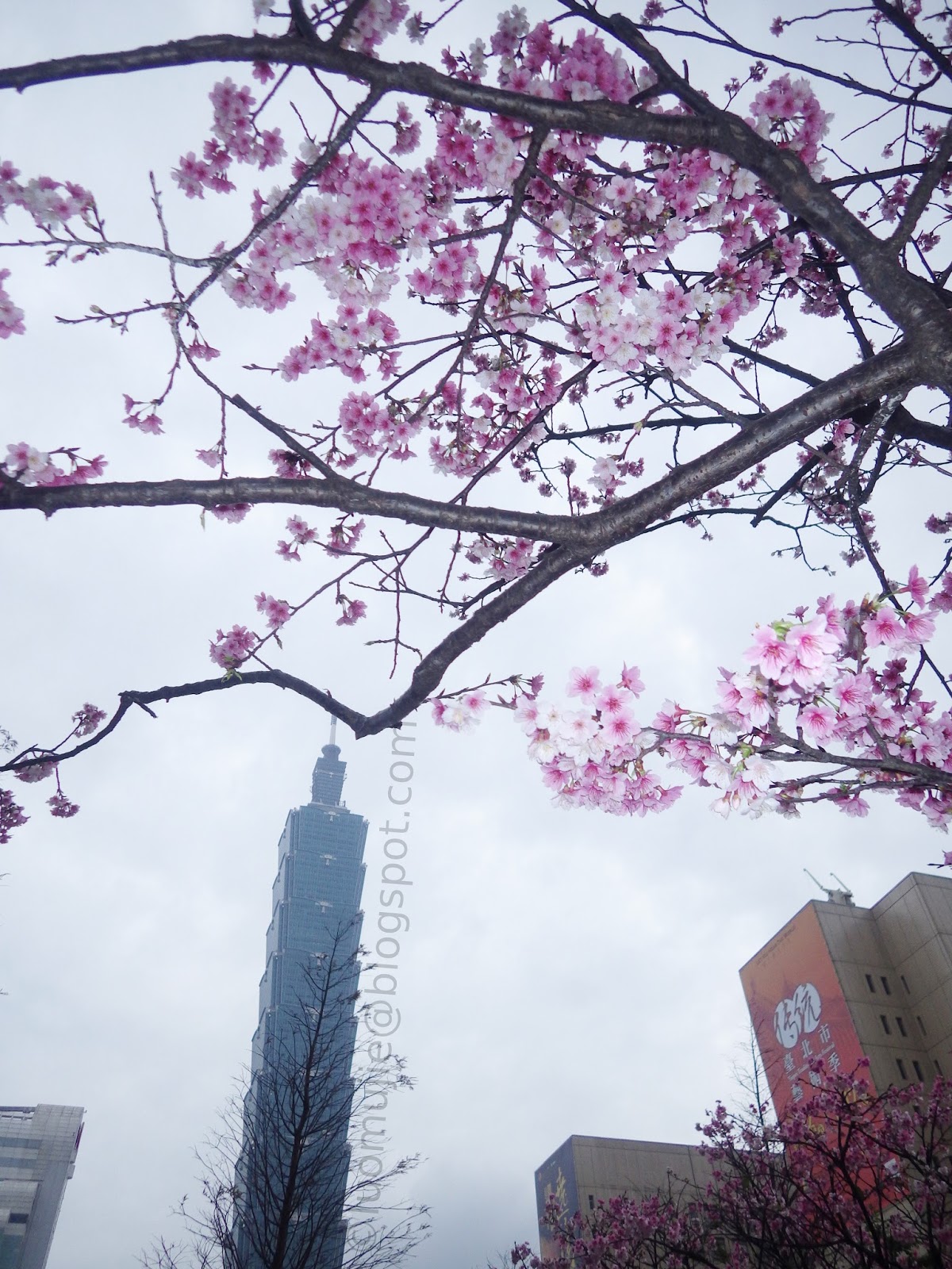
Taipei 101
Kāng Gào Kēng Creek
New Garden City
Broadwood Park
Tianyuan Palace backyard
Pingjing St. Lane 42
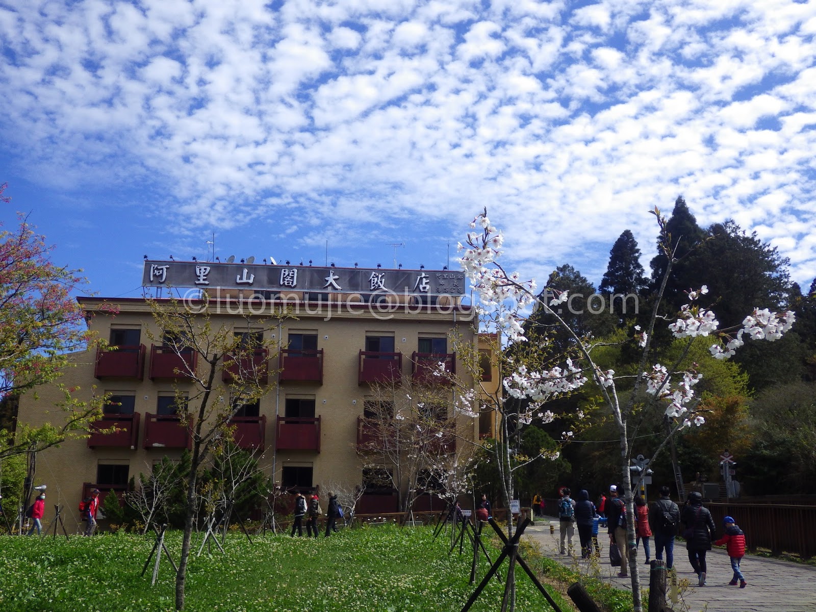
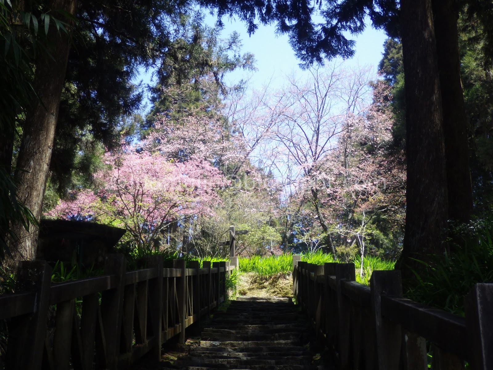
Alishan Ranger Station
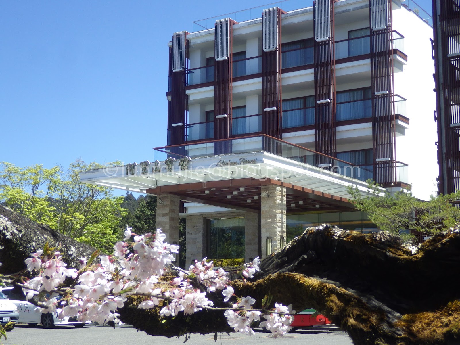
Alishan House
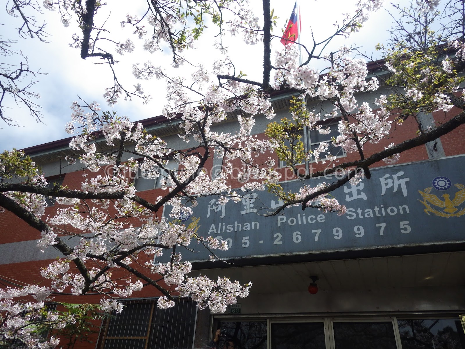
Alishan Police Station

Alishan Forest Railway

Alishan Station
Alishan Entrance
Alishan Gou Hotel
Alishan Magnolia Garden

Wulai tour
Wun Chang Elementary School
Bishanyan

Sanzhi Sansei Trail
Sakura Series - Taiwan
Nei Cuo Stream

Orange Garden Cafe
Sansei Trail
Tenglong Sakura Farm
Yangming Park Cherry Stream

Yangming Park Fountain
Flower Test Center
Broadwood Park
New Garden City

Yinghua Park
Pingjing St. Lane 42
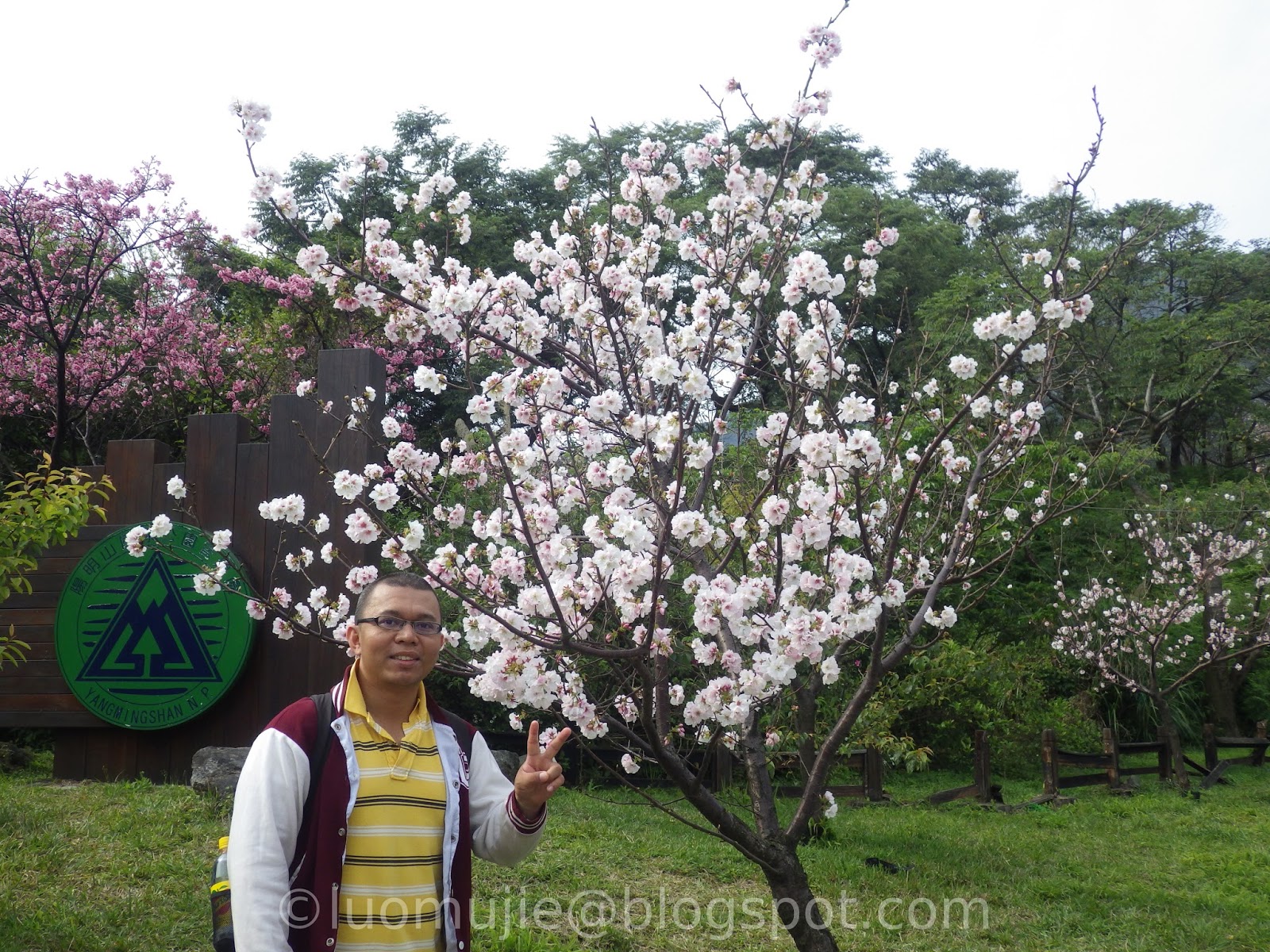
Yangmingshan Visitor Center
Taipei 101
Tianyuan Palace backyard
Sakura Series - Japan
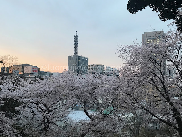
Kamonyama Park
Near the Nippon Maru Memorial Park
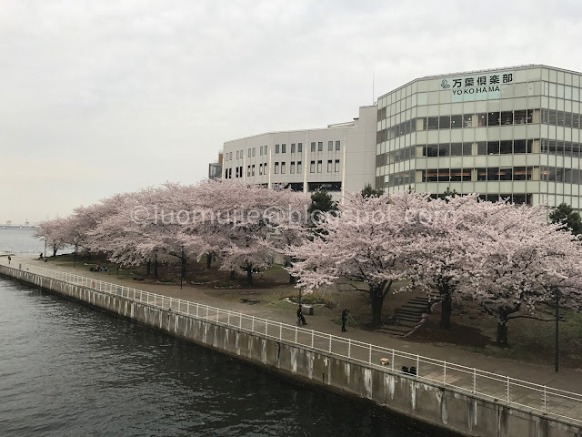
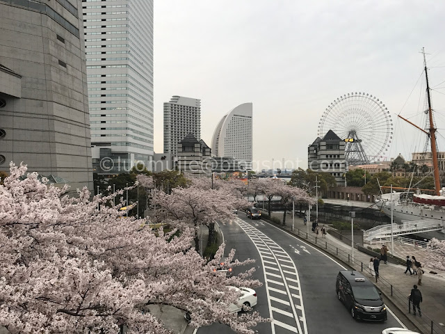
Shinko Park
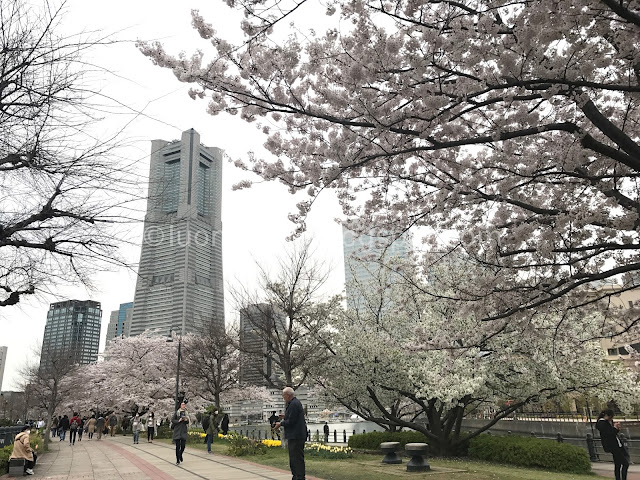
Minato-mirai 21 area
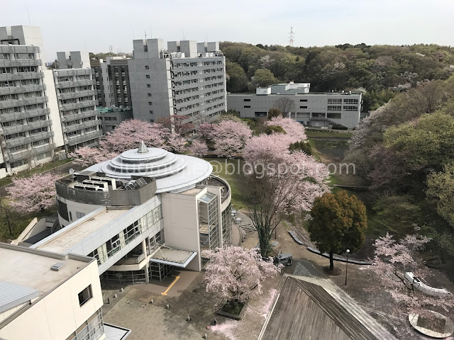
Tokyo Tech Suzukakedai Campus
Onda River
Tenryuji

Byodoin
Kiyomizudera
Himuro shrine and Yakushi-ji Temple
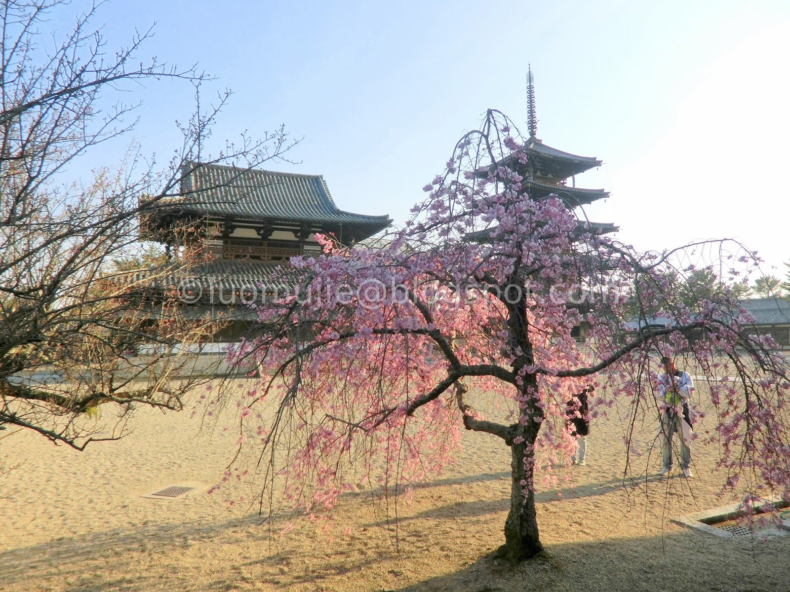
Hōryū-ji Temple
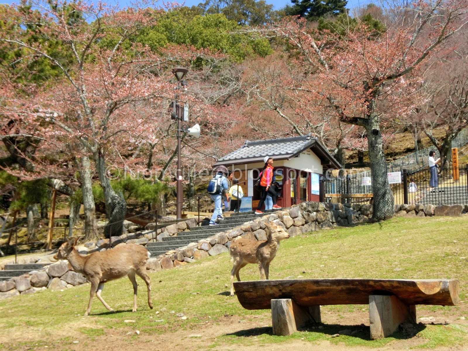
Nara Park attractions
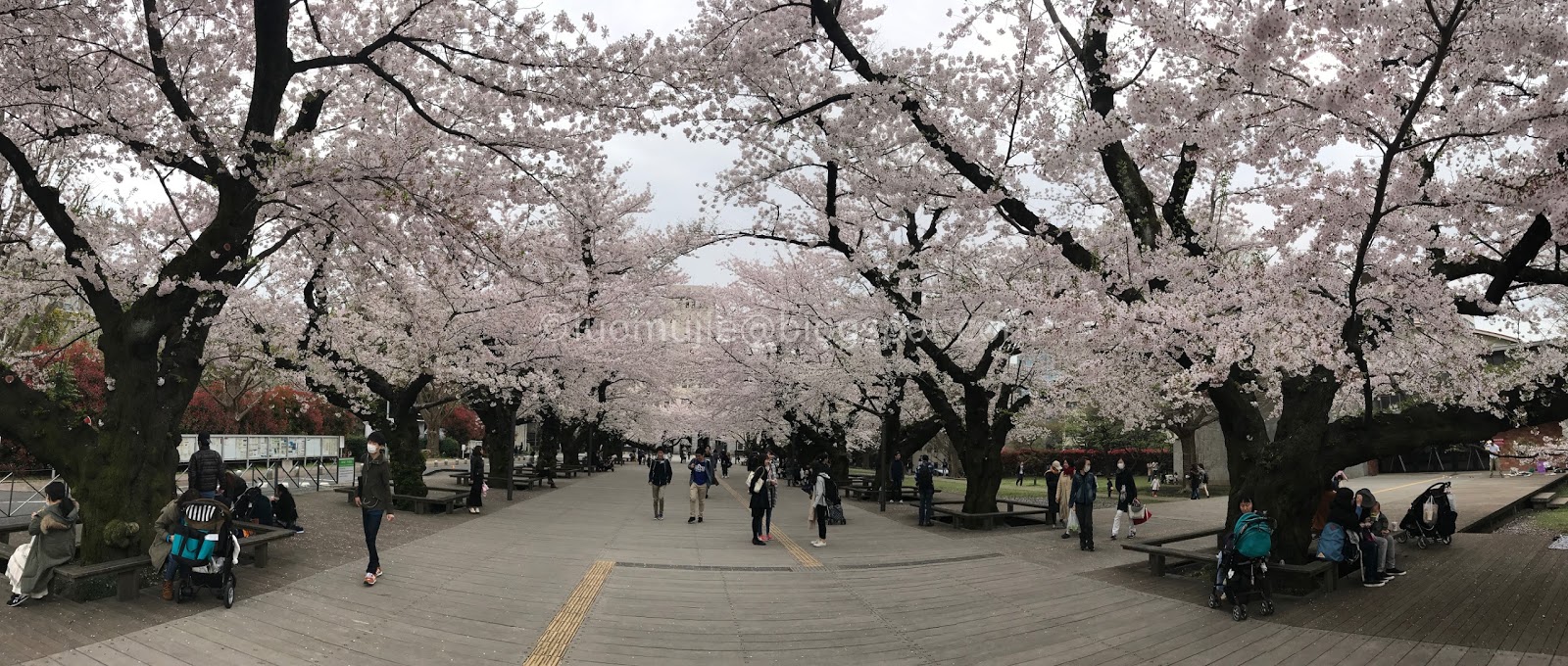
Tokyo Tech Ookayama Campus
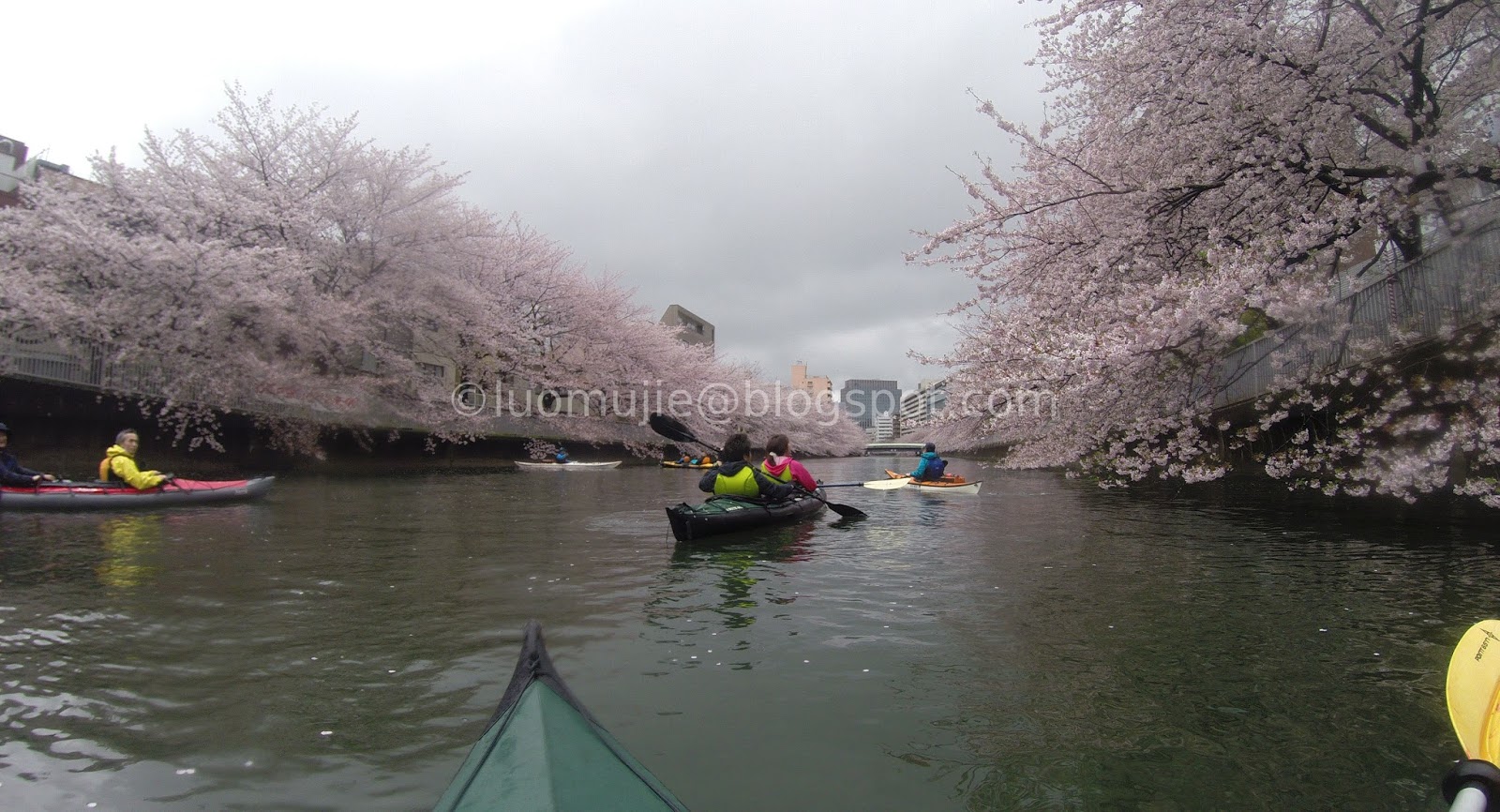
Sumida River
Tsuruma Park
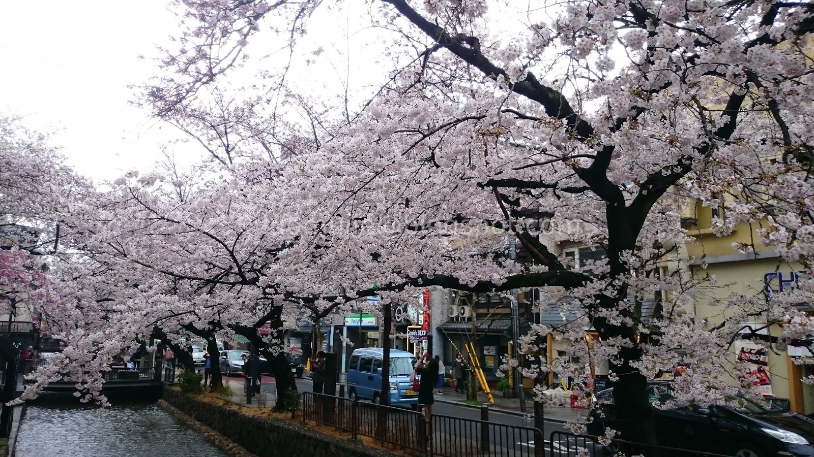
Gion
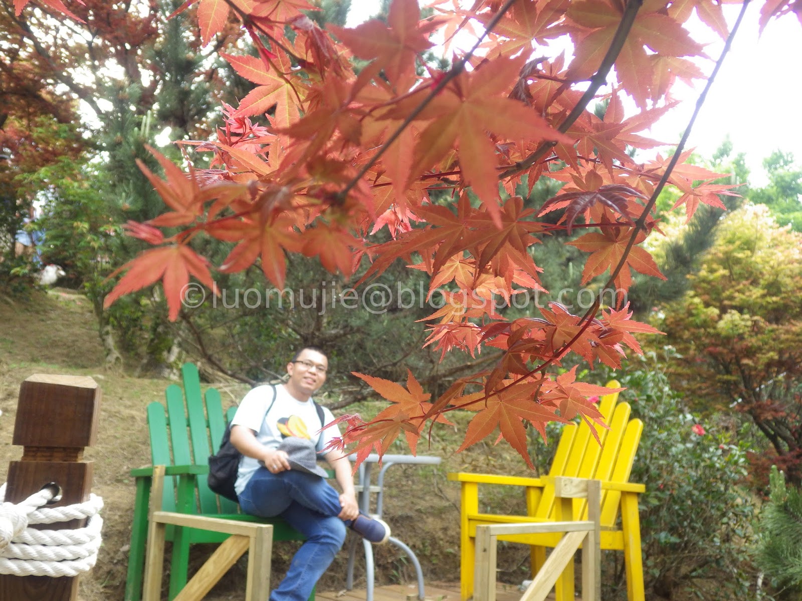
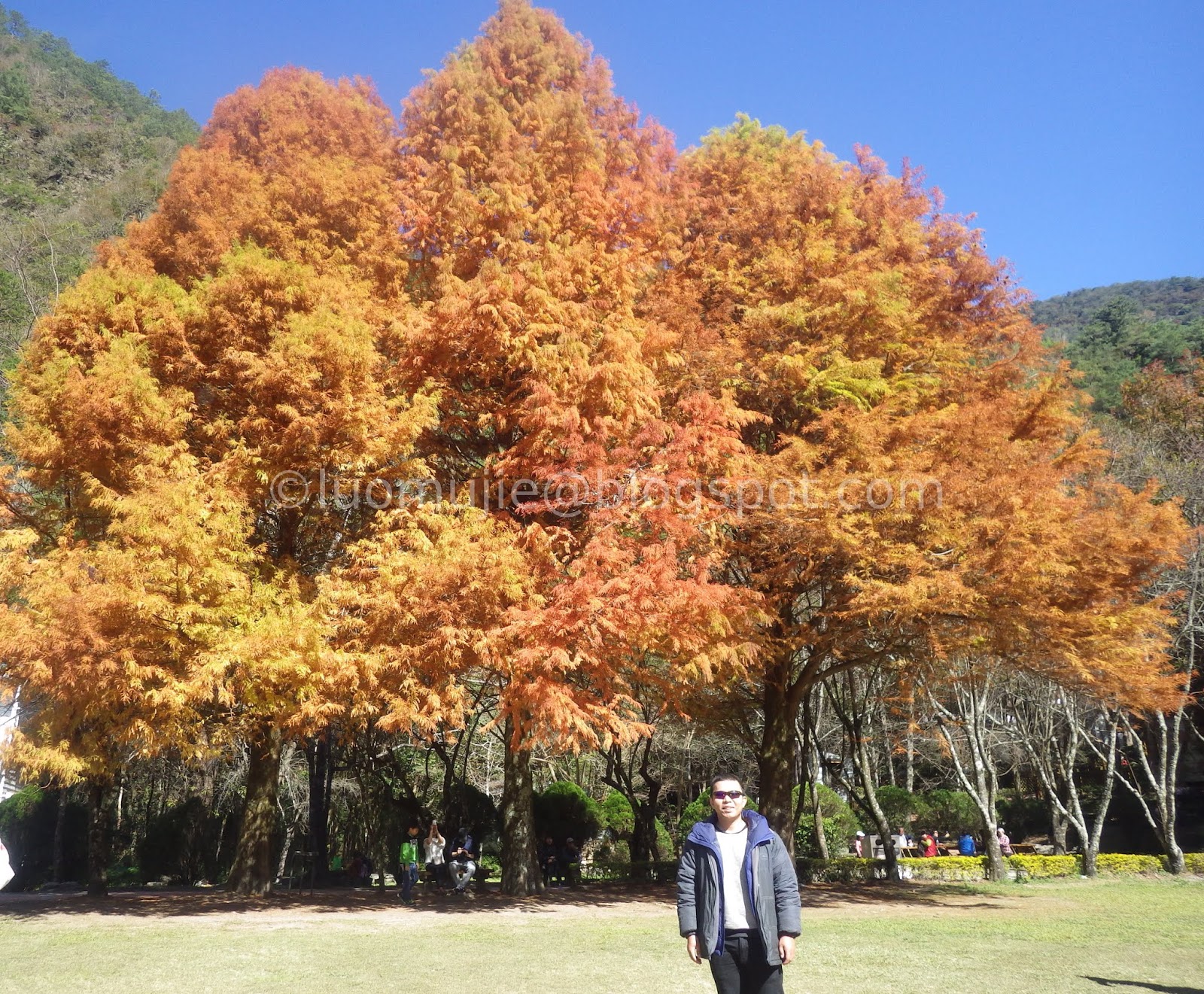
Maple Series
Taipei Aowanda

Shimen Dam

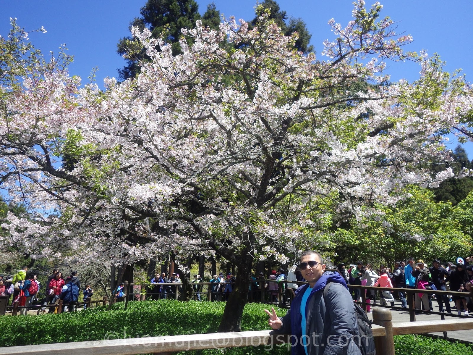
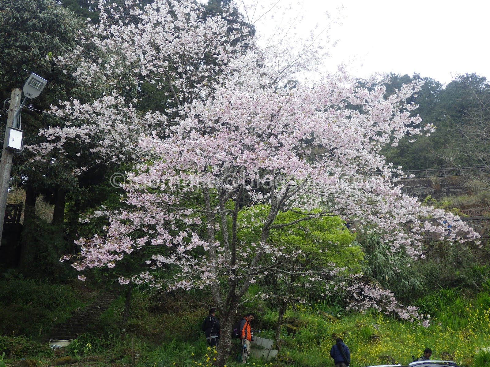
Alishan
Aowanda
Shanlinxi

Taoyuan Valley Garden
Fushoushan Farm
 |
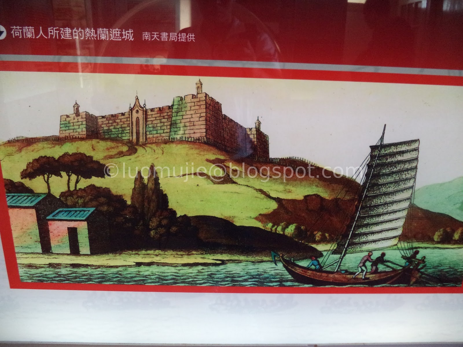
| Yehliu to Jiufen? Yehliu to Shifen? Cheaper than yellow taxis |
The "Taipei kong mahal" (My beloved Taipei)

Always in my heart

MRT birdman
Valentine's Day

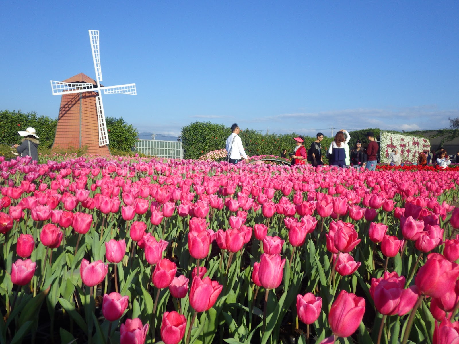
Tulips Festival
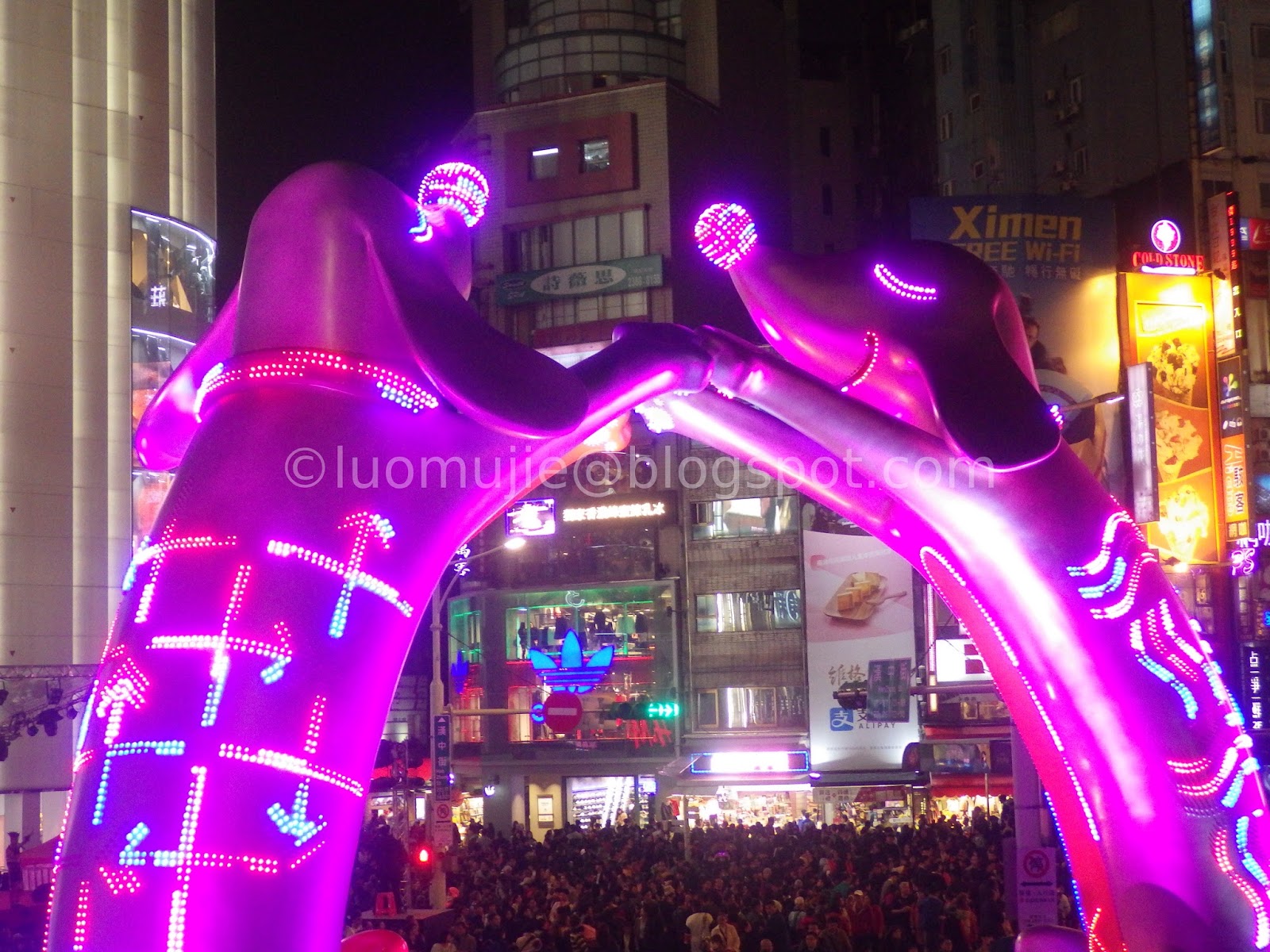
2018 Taipei Lantern Festival
City of Azaleas
Linji Huguo Temple
Nanjichang Night Market

Gudetama Chef restaurant
Dalongdong Bao'an Temple
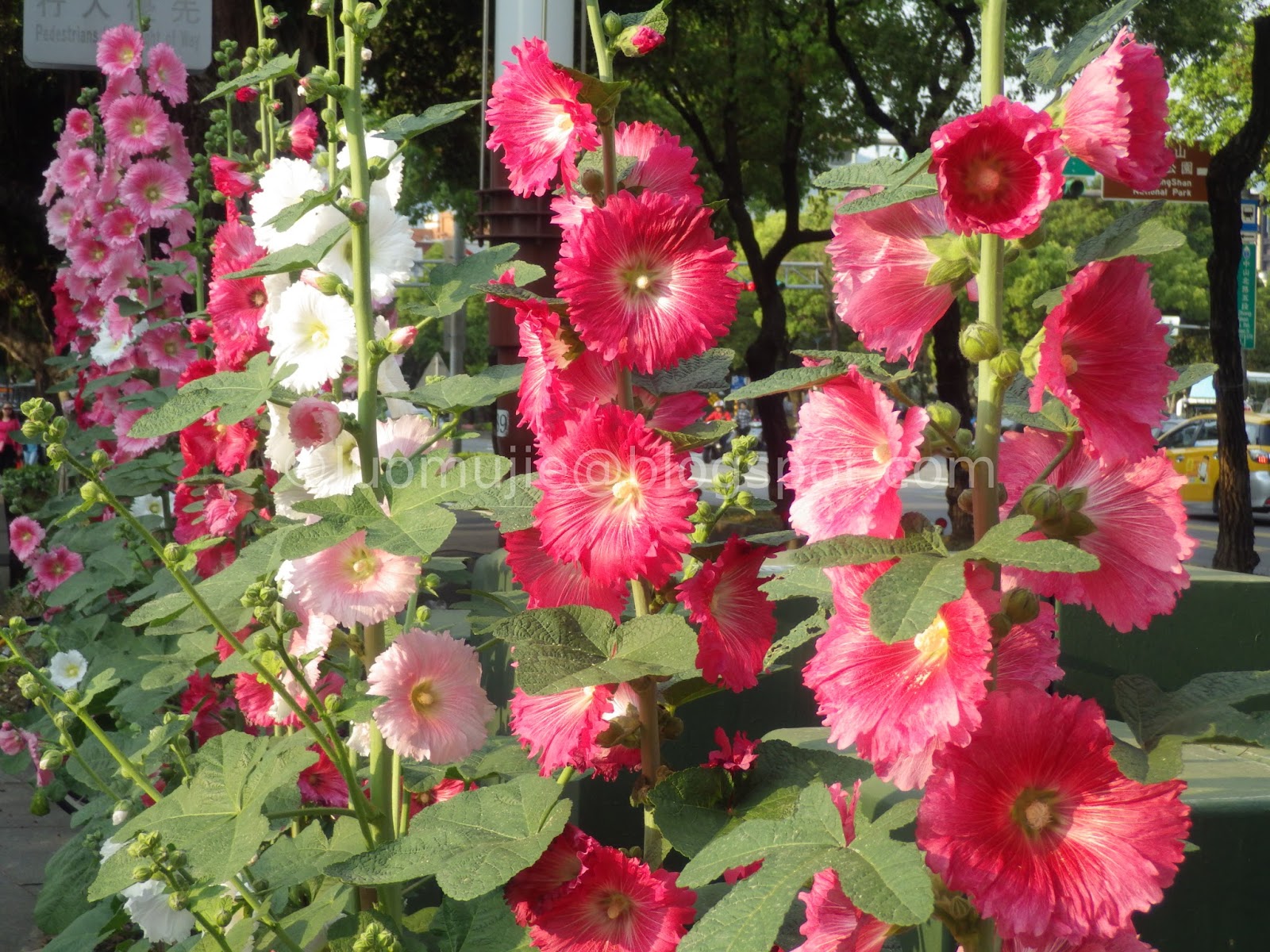
Shilin hollyhocks
Ningxia Night Market
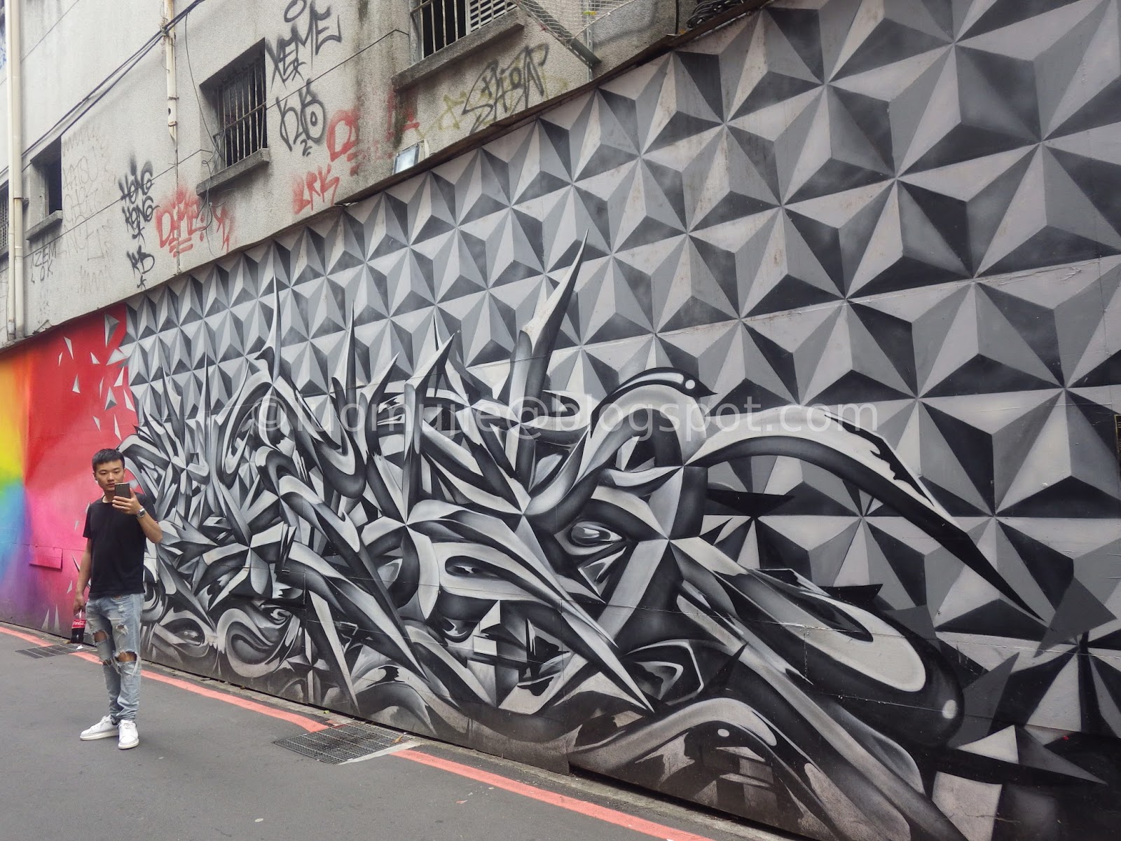
Ximending graffiti
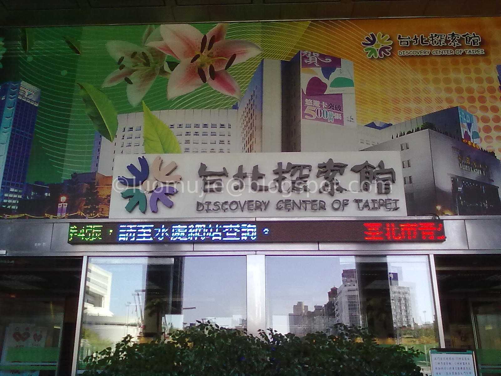
Discovery Center of Taipei
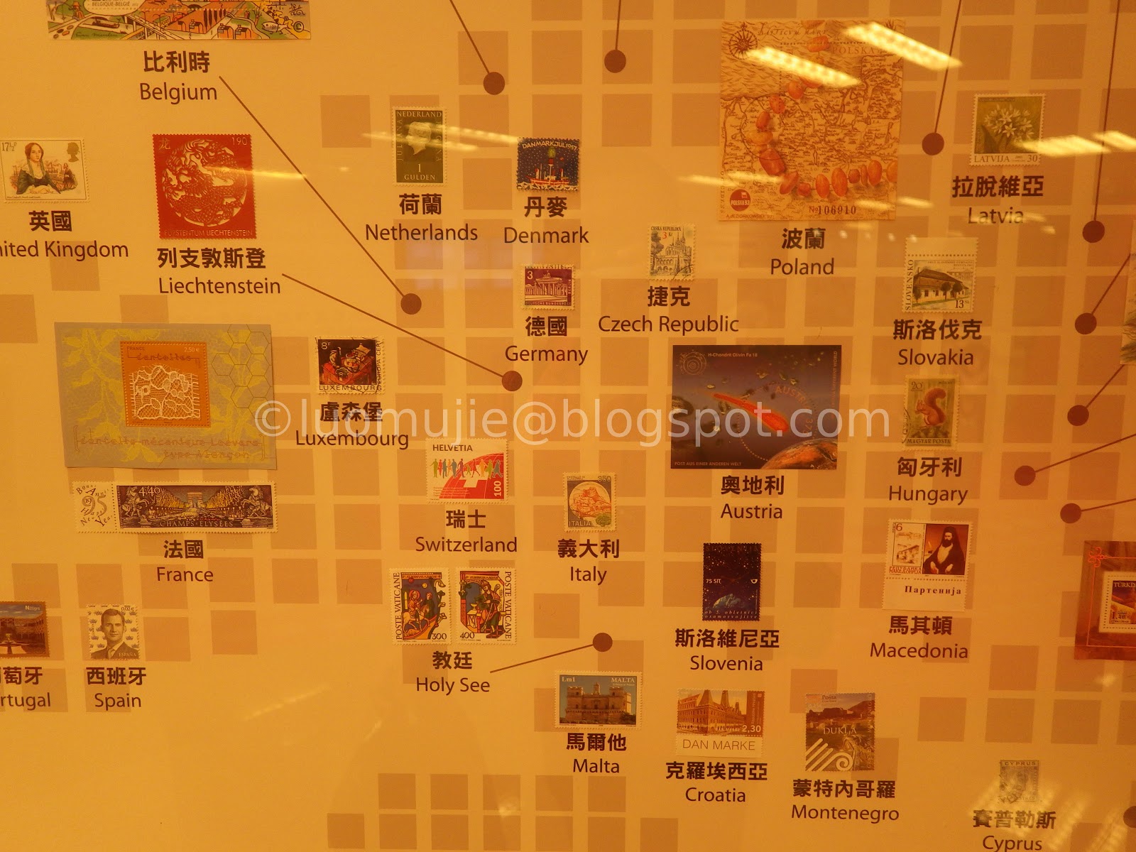
Chunghwa Postal Museum
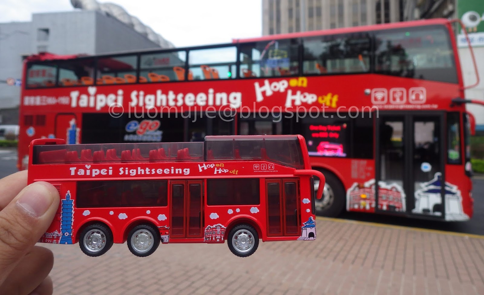
Double-Decker Bus

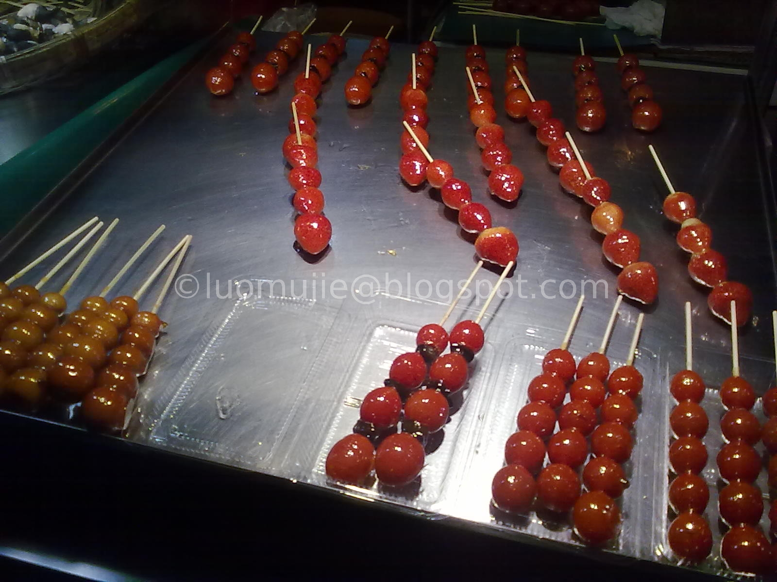
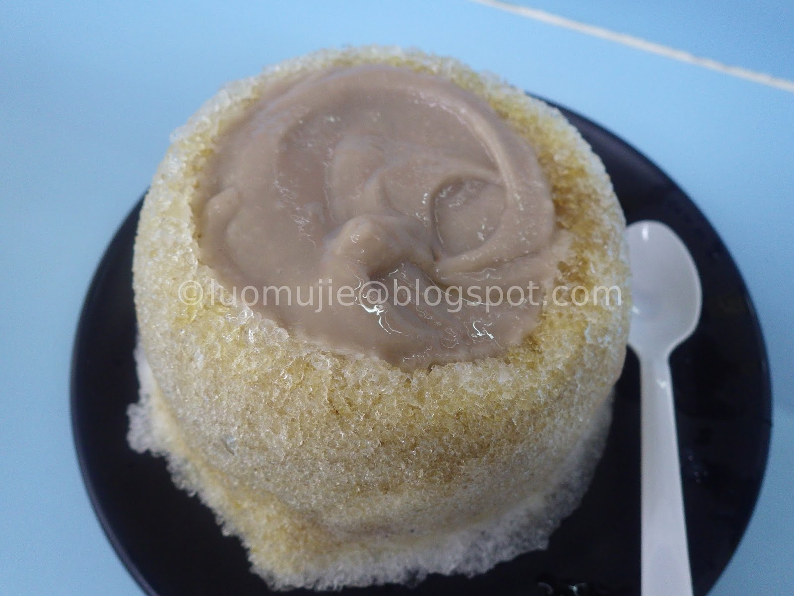
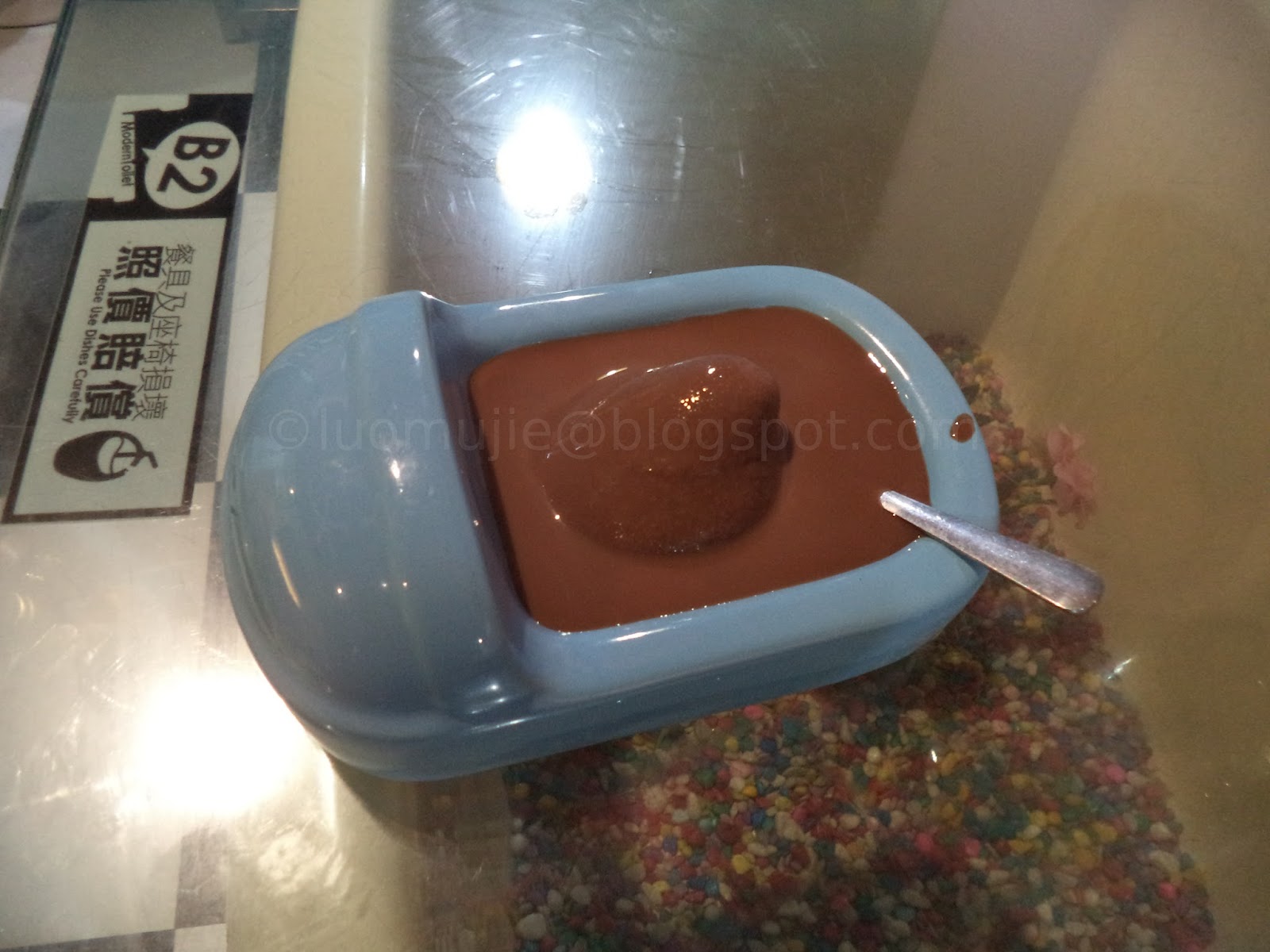
Shilin Cold Balls

Jingimoo

GomanMango
mud volcanic ice
Fire and Ice Dumpling

Opium Fen-Yuan

Ichiran Ramen
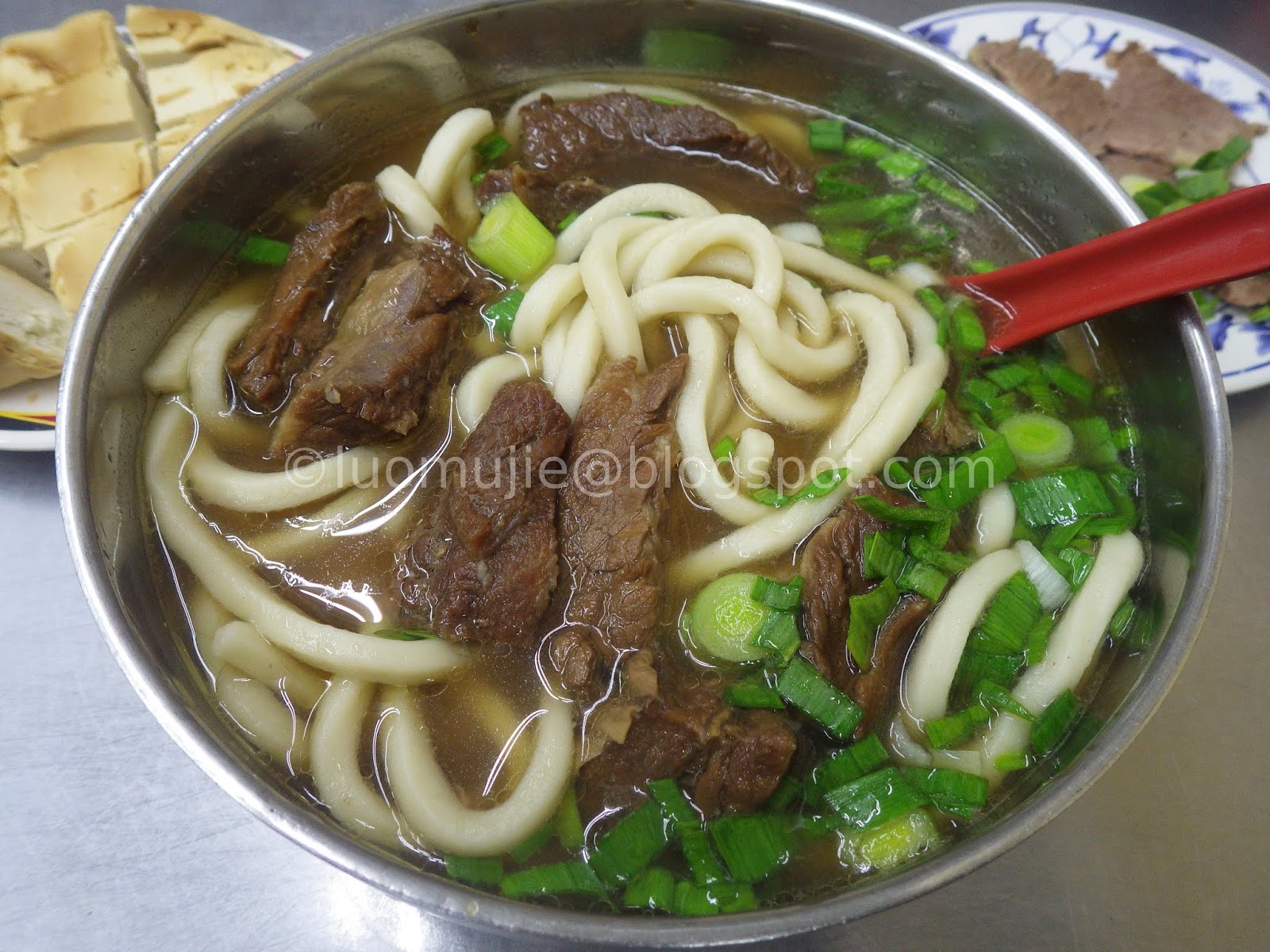
Liu Shandong Beef Noodles
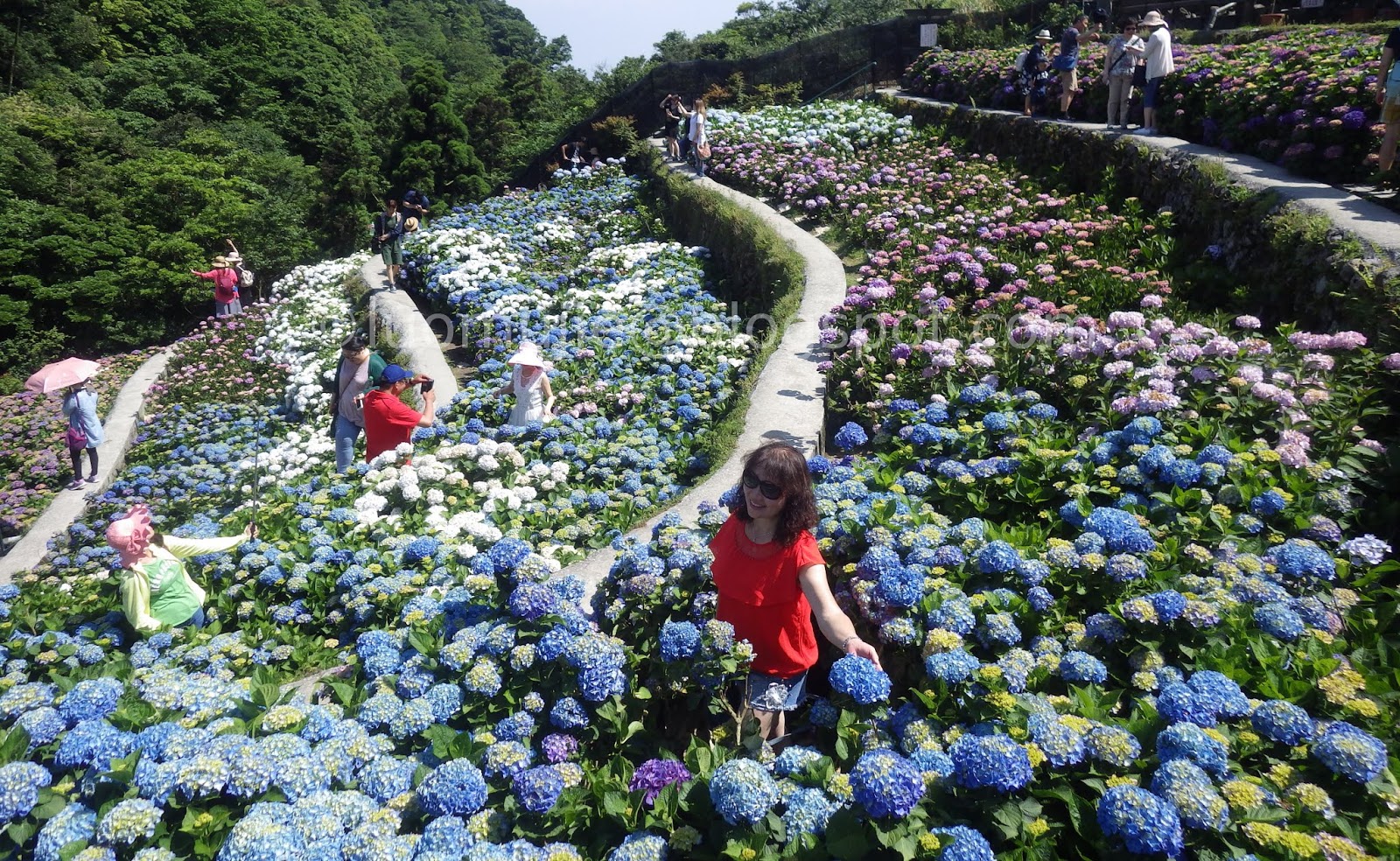
hydrangea flowers
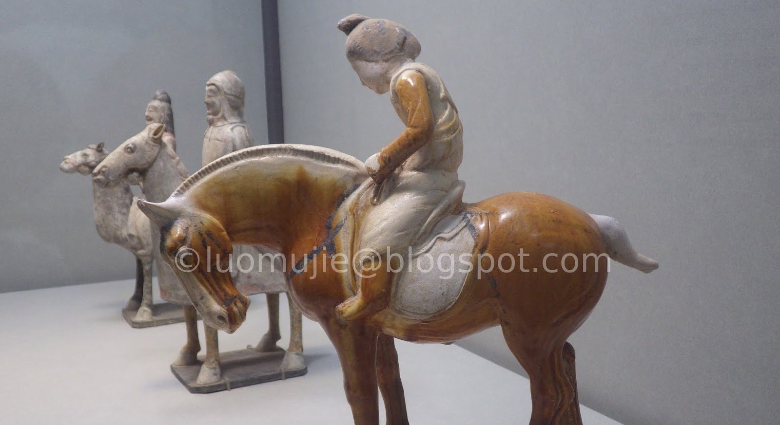
National Palace Museum
Other attractions in Taipei

Taipei on a budget

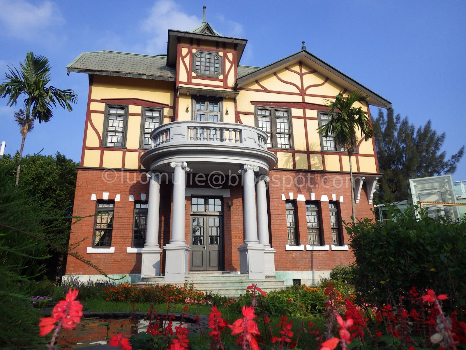
Japanese buildings

Dāoxiāomiàn beef noodles

Presidential Office Building

Yongkang St. and Elephant Mountain
CKS and SYS Hall

City tour

Beitou ramen
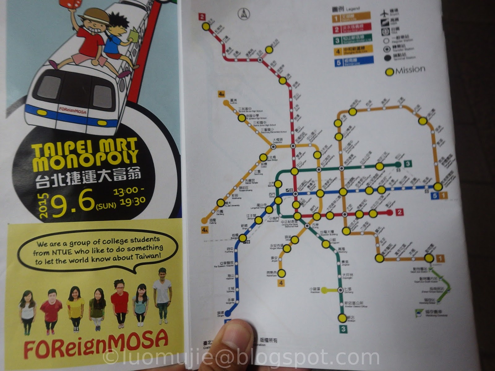
MRT Monopoly Game

Winter city tour

Zhicheng Park

Shilin Plum Blossom

Art museums

Shopping in Taipei
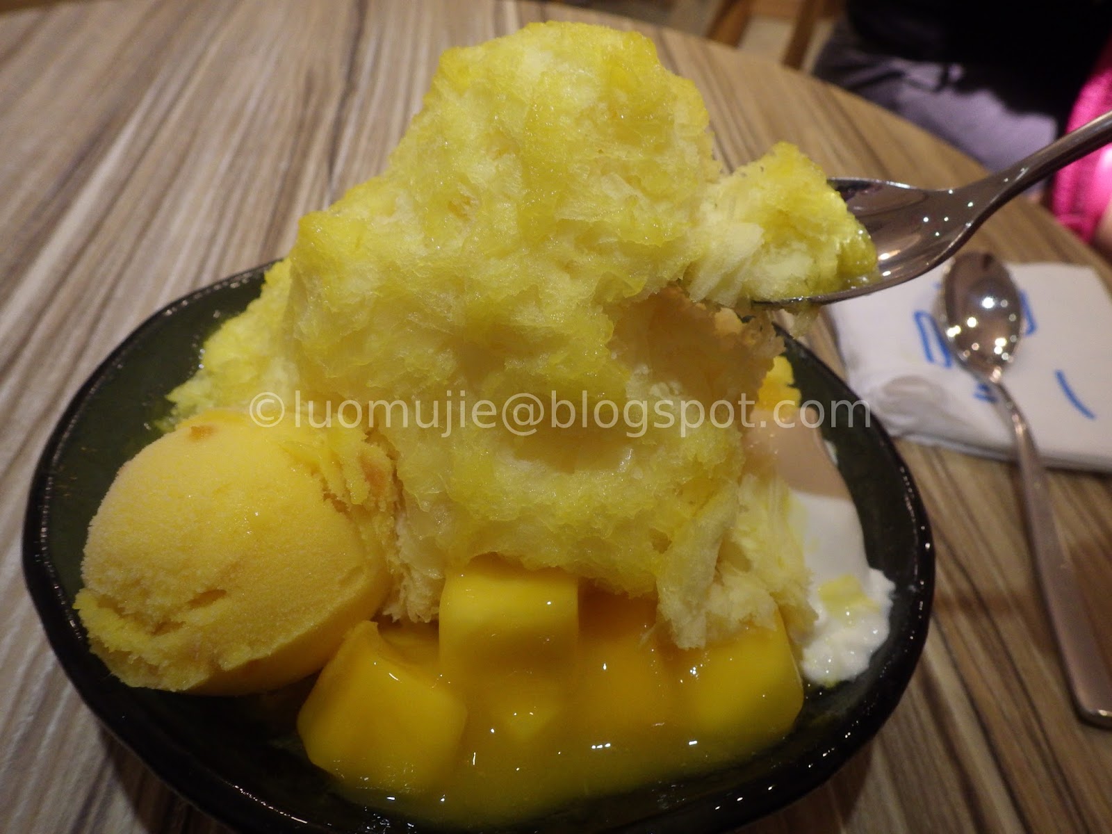
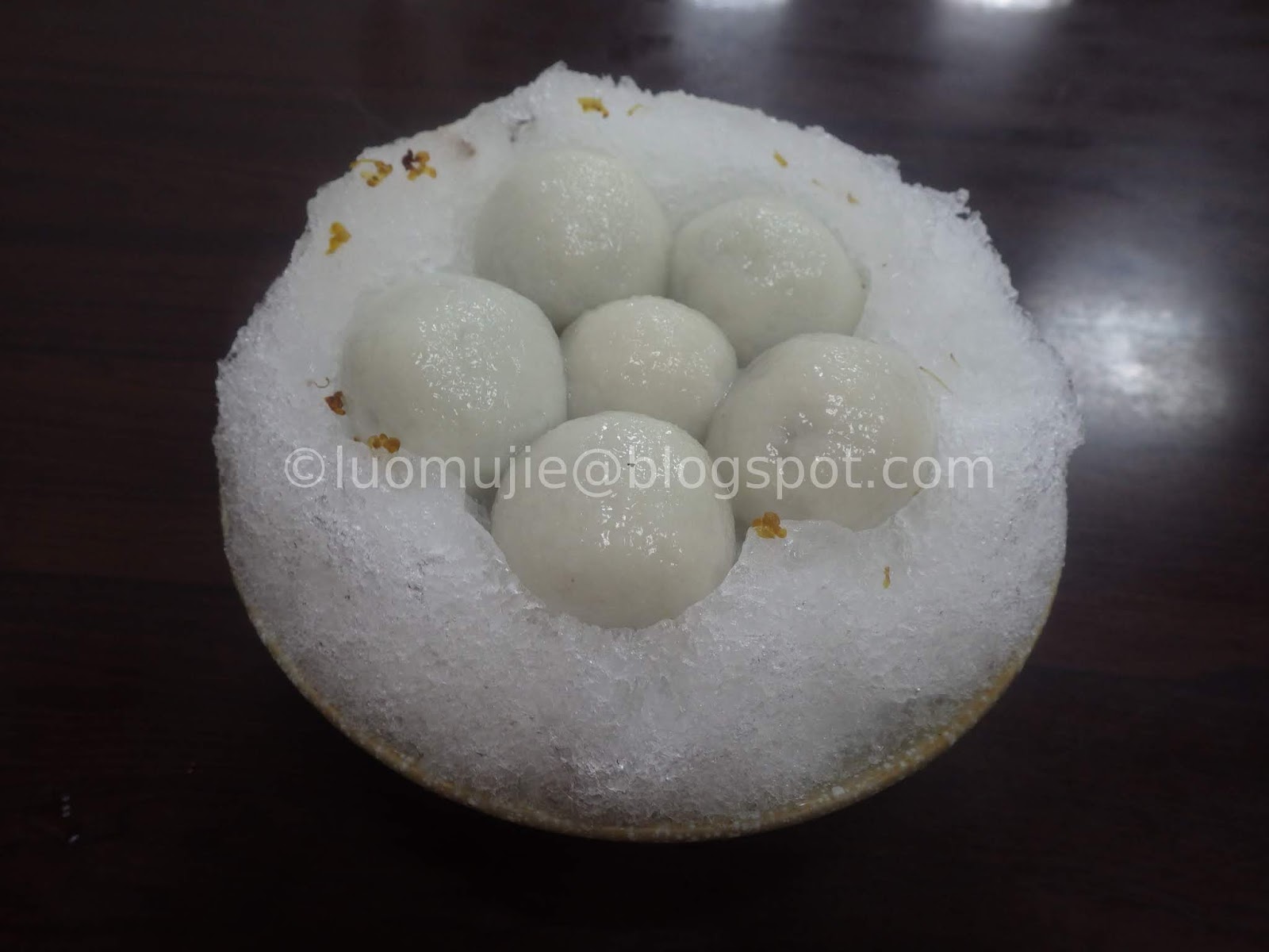
Summer desserts

Qingtiangang

Qixingshan hiking
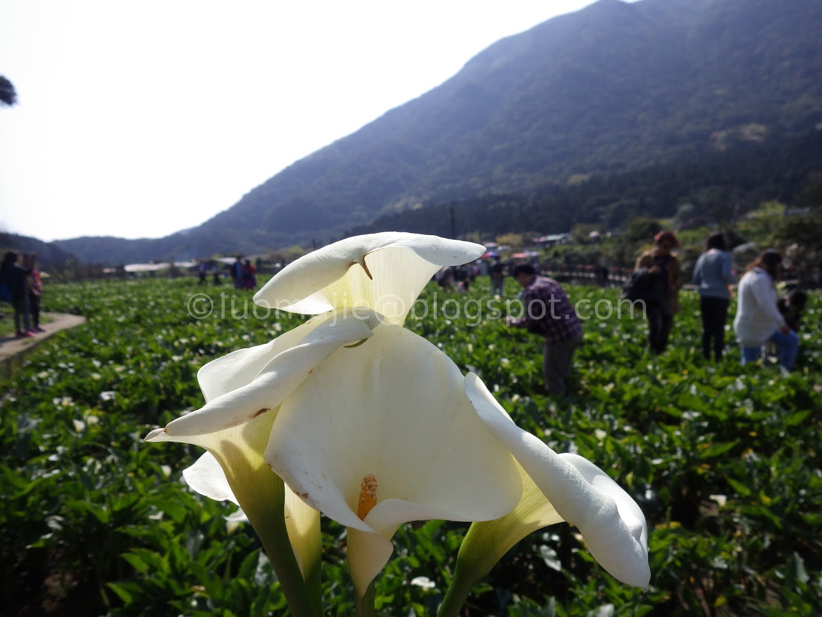
2015 Calla lily

2016 Calla lily

Beitou tour
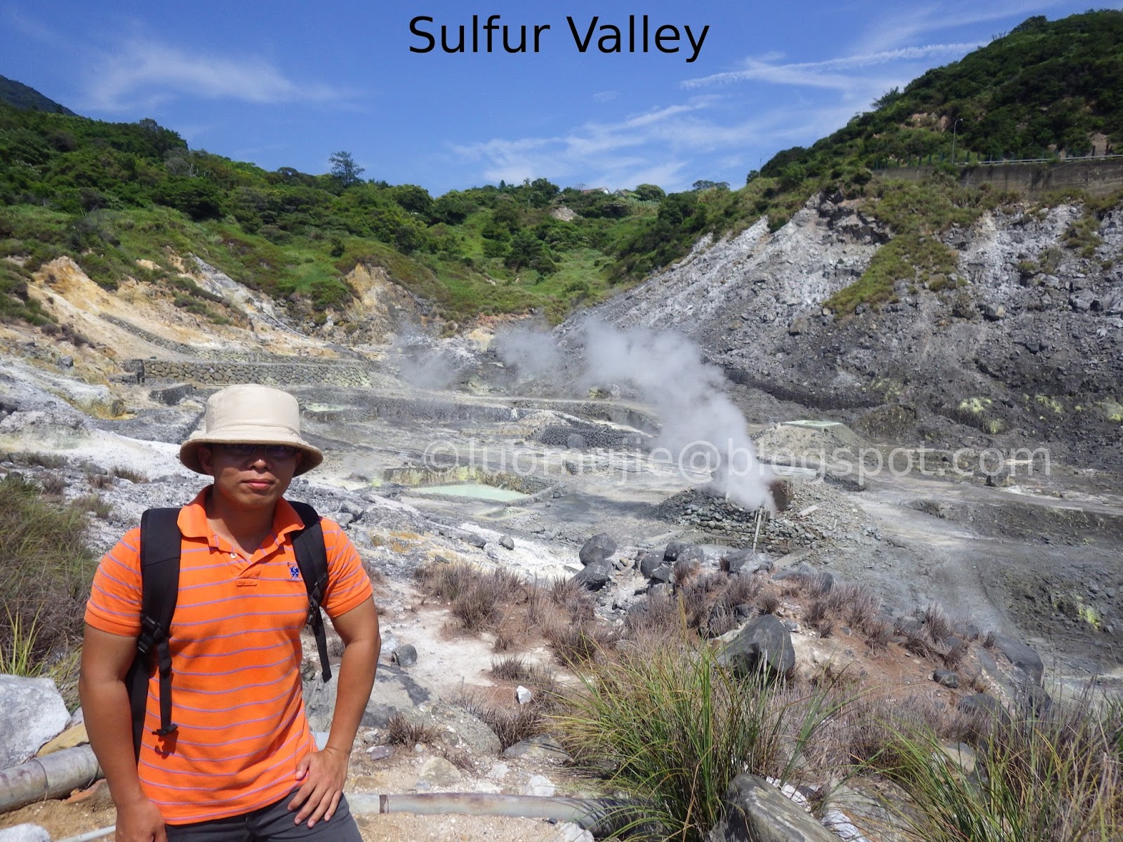
Beitou-Zhuzihu tour

NTU
Confucius Temple

2015 Dadaocheng Festival

Puppet Museum
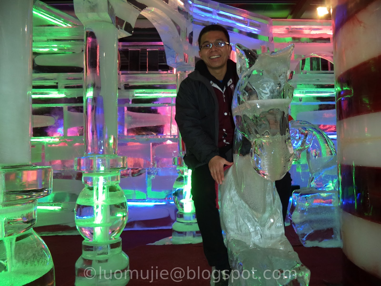
Fantasy Ice World

2016 Bread Show

Strawberry picking

2015 Rose Garden
Modern Toilet
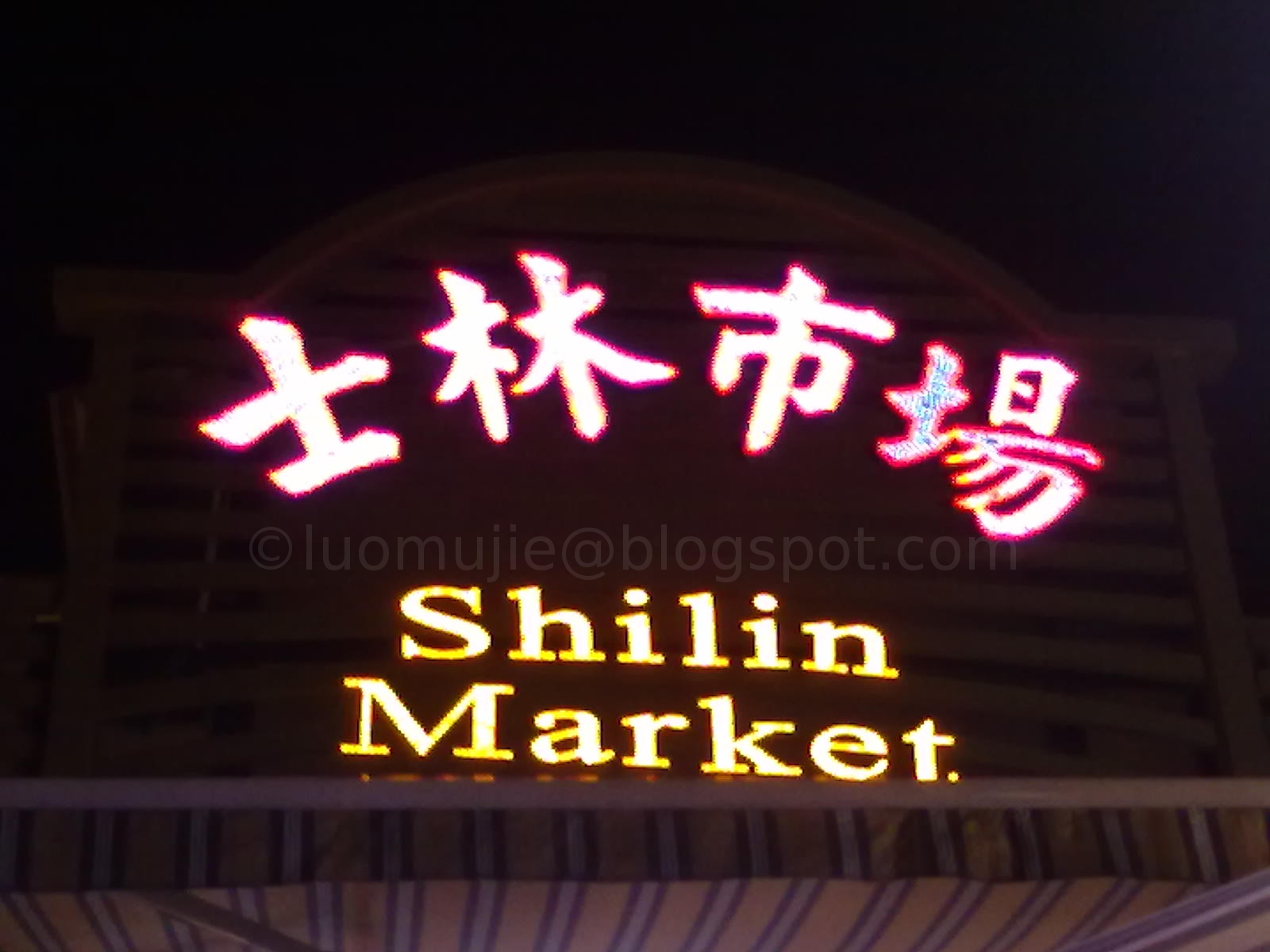
Shilin Night Market
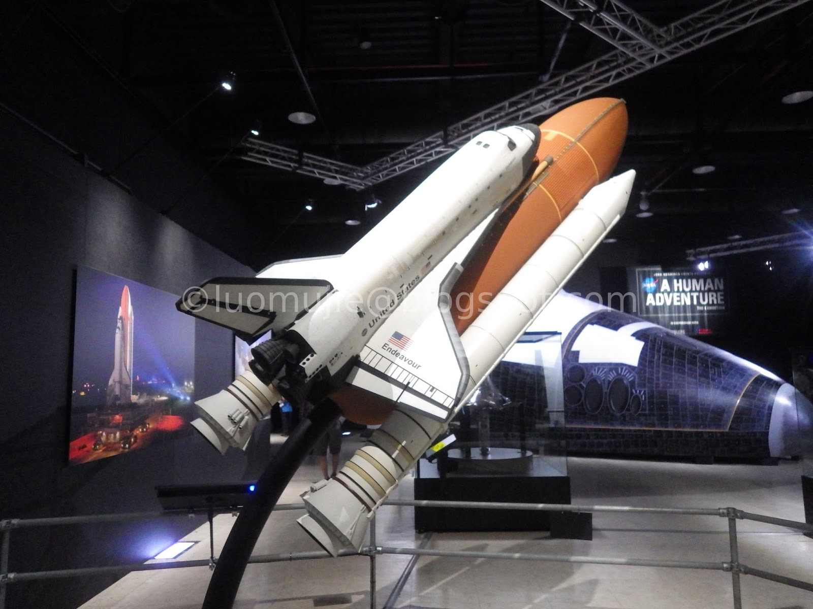
NASA Exhibit

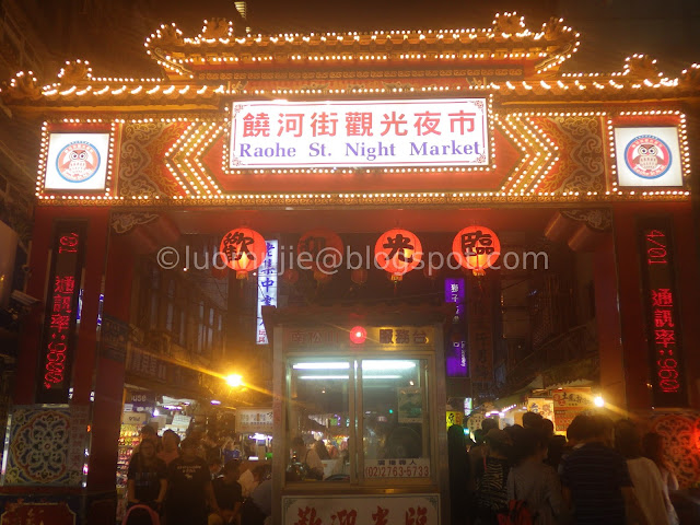
Raohe Night Market
Longshan Temple
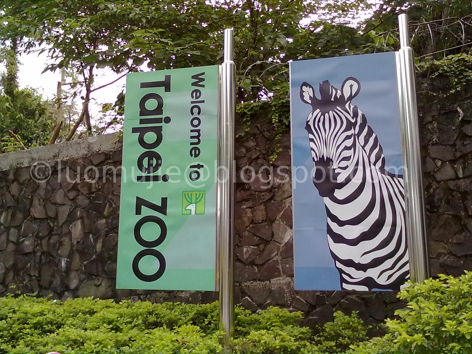
2013 Taipei Zoo

Maokong Gondola
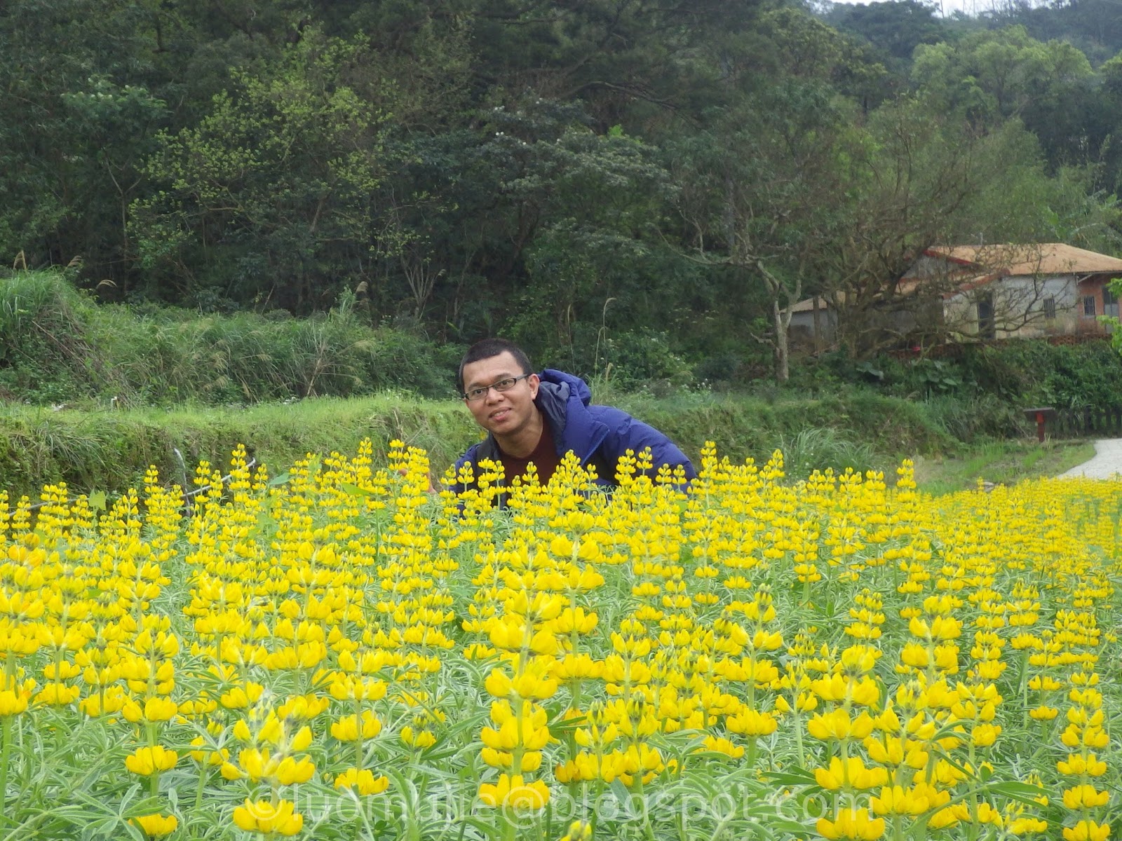
Lupin flowers
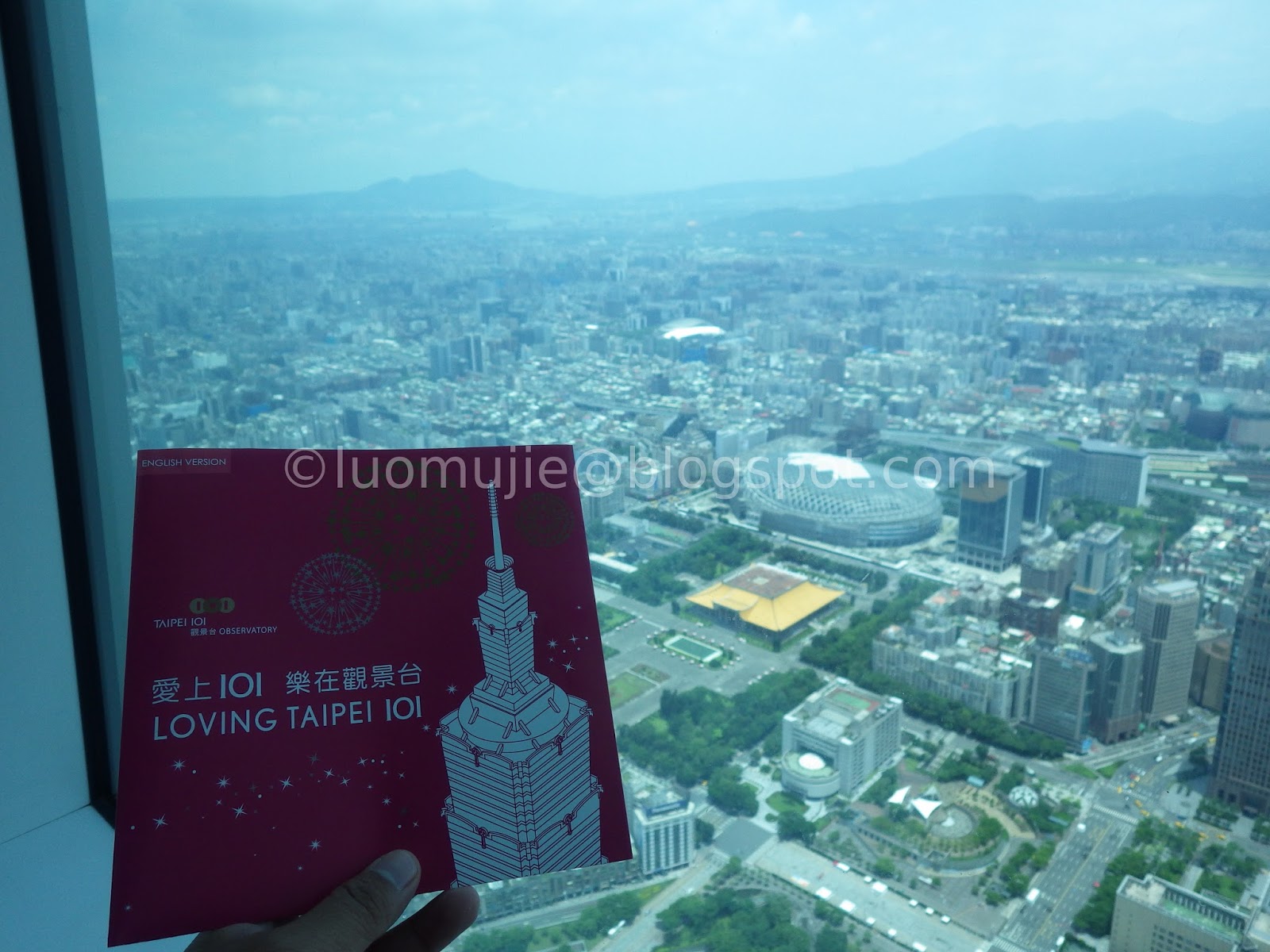
Taipei 101 day visit

Taipei 101 night visit
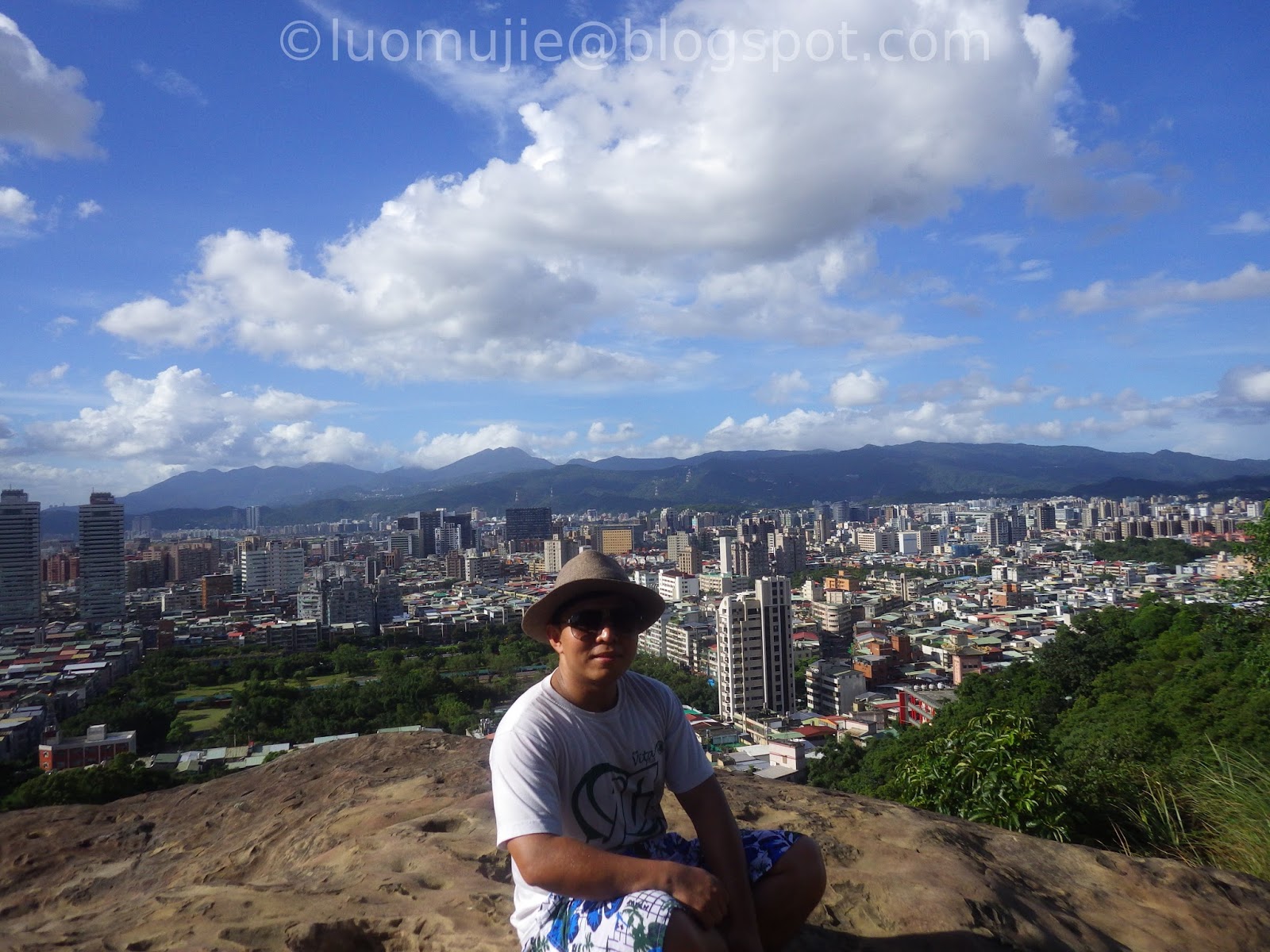
Tiger Mountain

Din Tai Fung
Taipei Story House

2014 Flower Show
Chrysanthemum Show
Miramar Ferris wheel

Miniatures Museum
Archery

1600 Pandas

Wulaoguo hot pot

Upside Down House

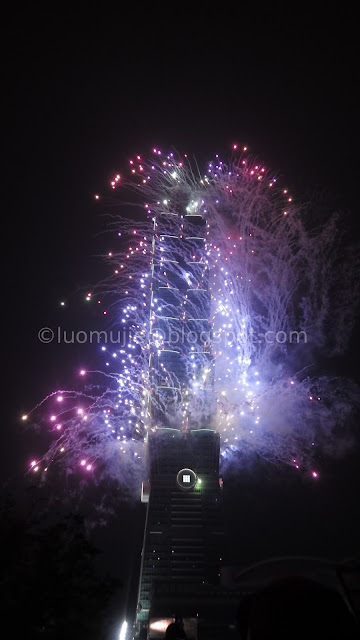
2016 101 Fireworks
New Taipei


Tamsui Pumpkin Tunnel

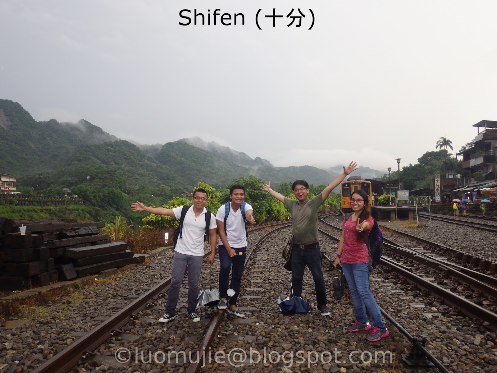
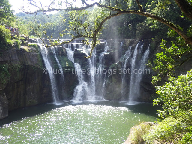
Shifen Waterfall

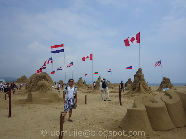
2017 Sand Sculpture

Dragon Caves

New Taipei tour

2016 Kite Festival
Pingxi Crags
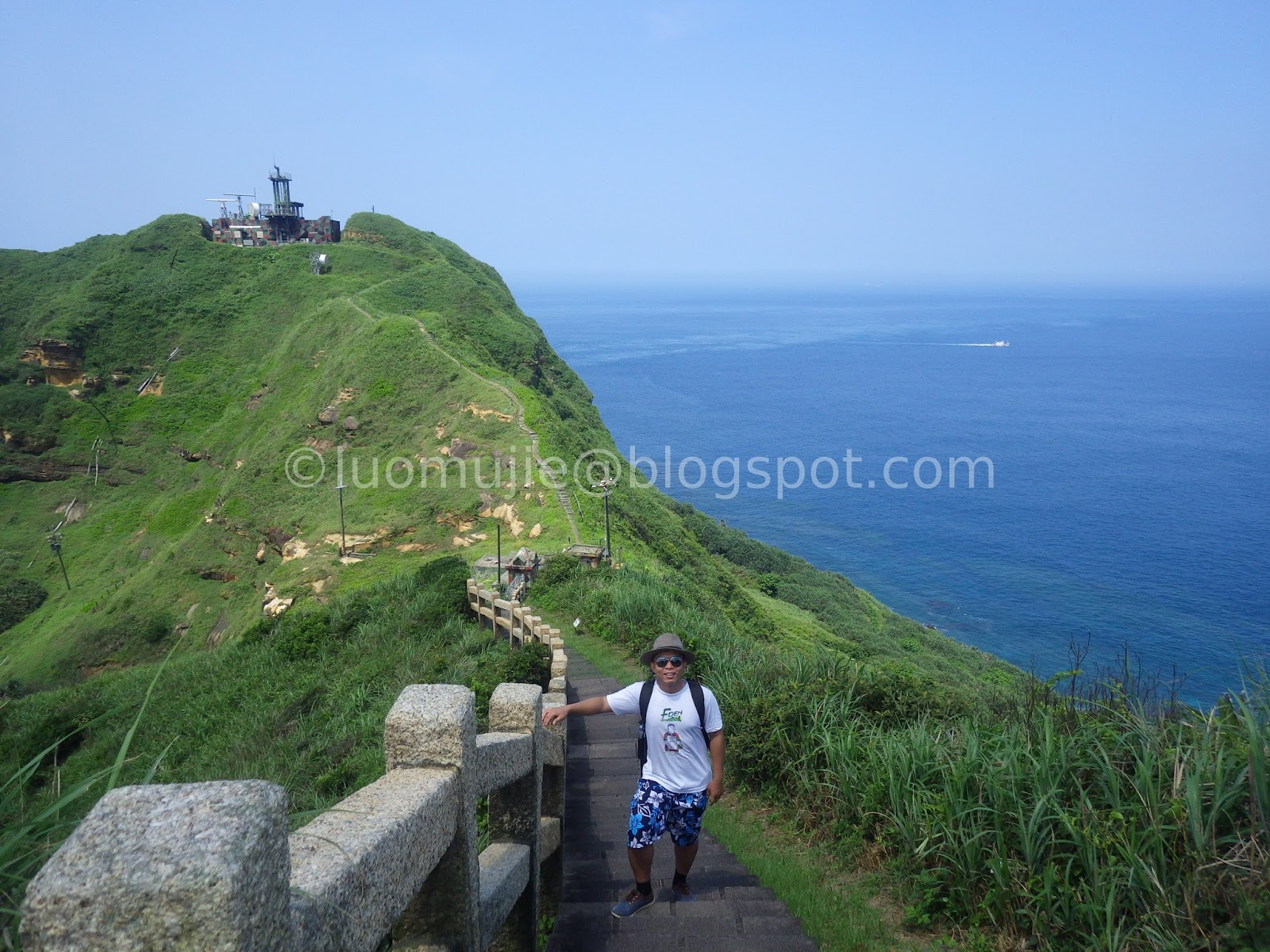
Bitou Cape
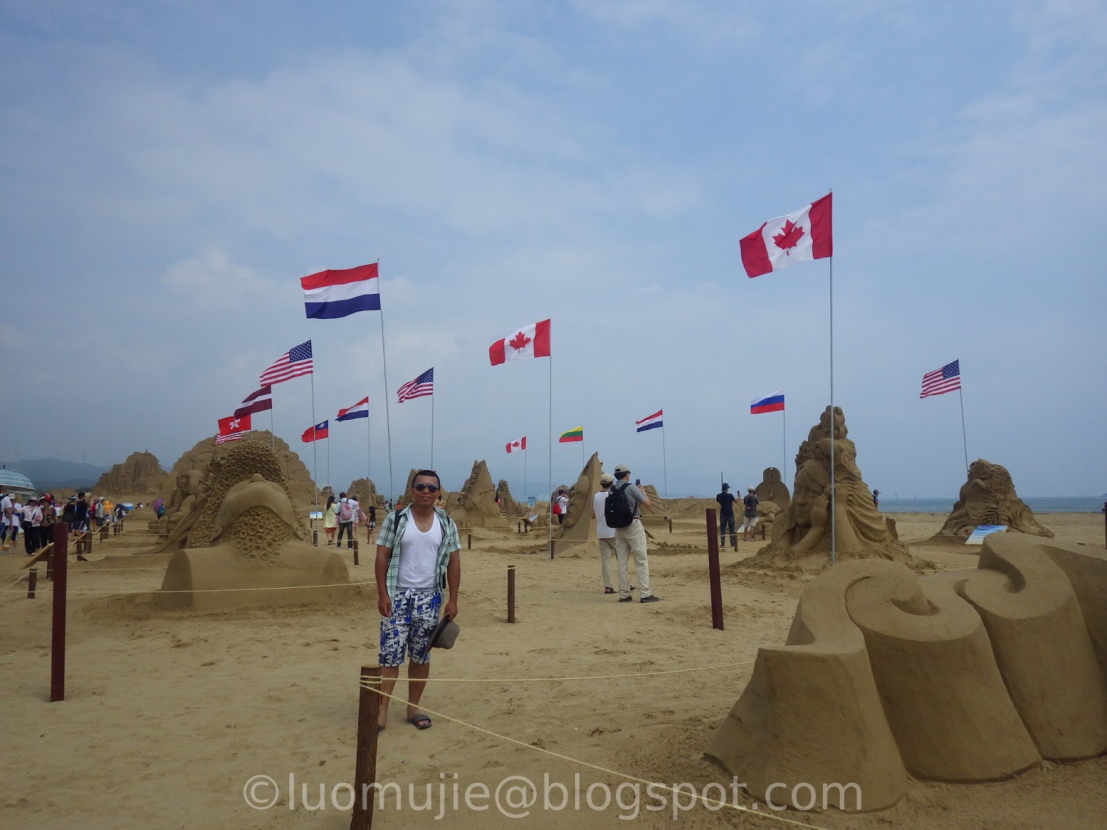
2016 Sand Sculpture
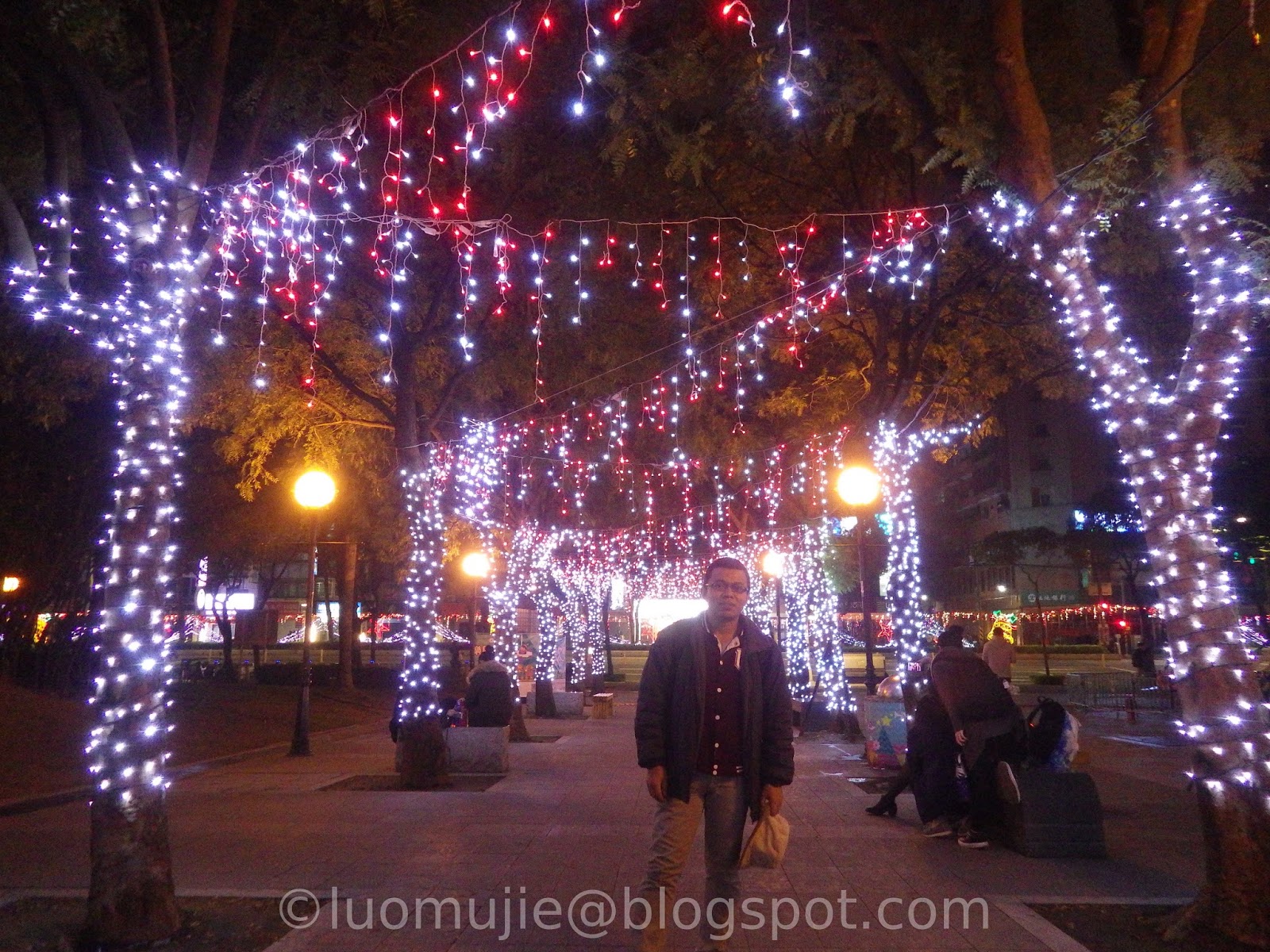
2015 Christmasland
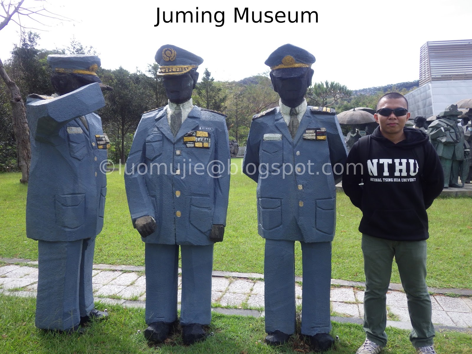
Juming - Jinshan
Houtong - Pingxi

Sandiaoling Waterfall

Jiufen foodtrip
Guanyinshan hike

Yehliu Ocean World

2014 Kite Festival

Pingxi Rail tour

Jinguashi tour
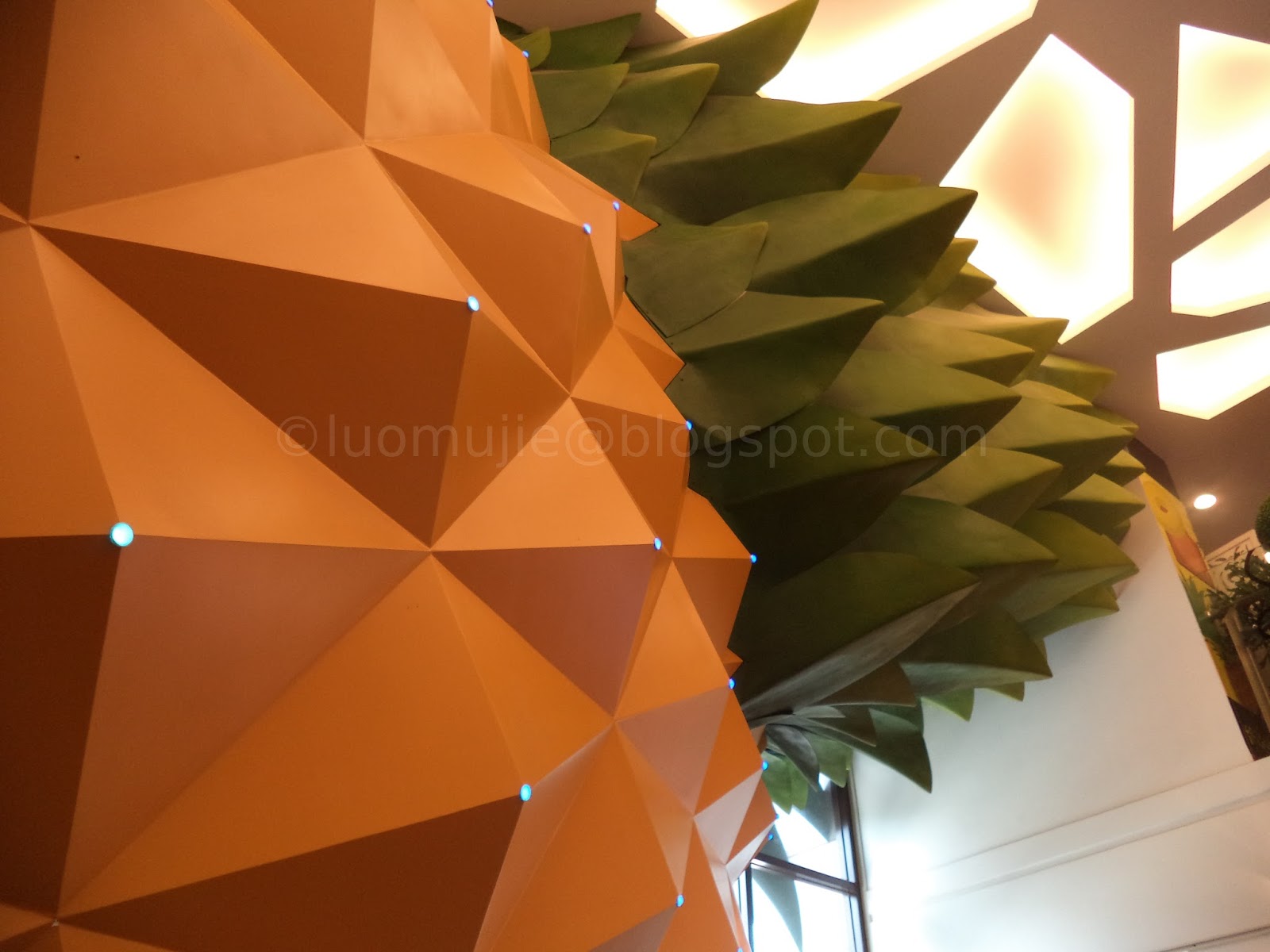
Vigor Kobo Pineapple
British Consulate
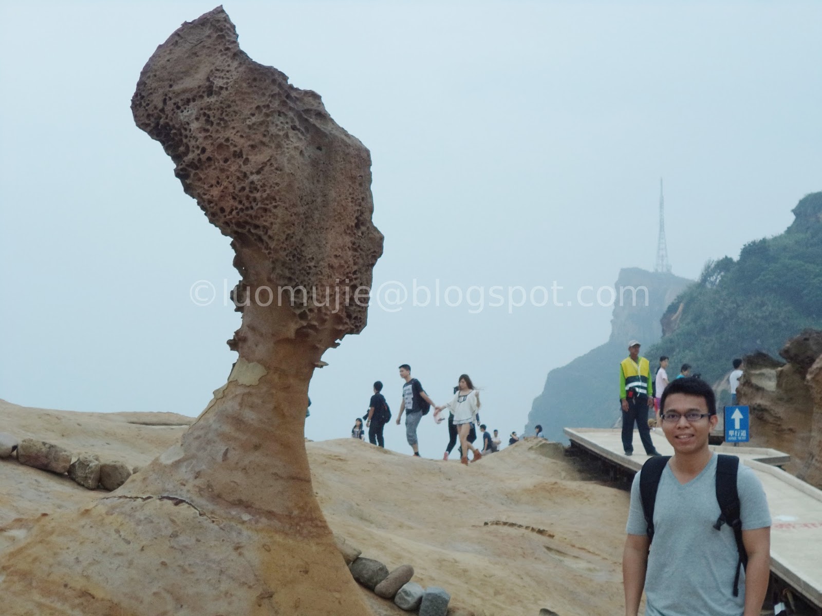
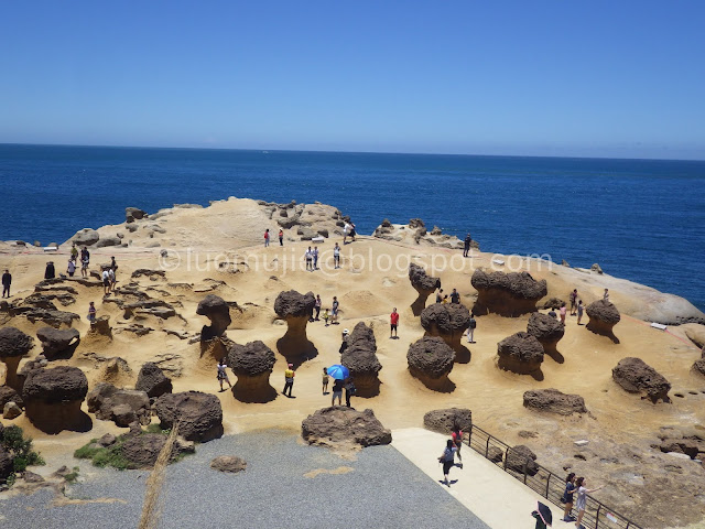
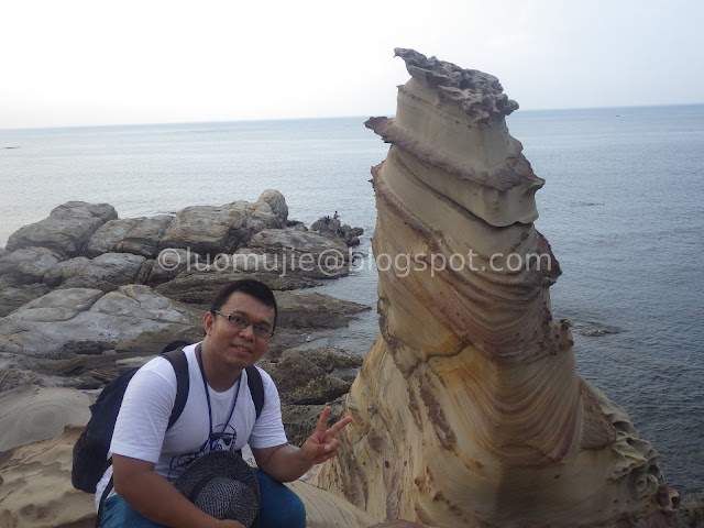
Yehliu Geopark

2014 Sand Sculpture

Paragliding

2014 Christmasland

2014 Pingxi Lantern
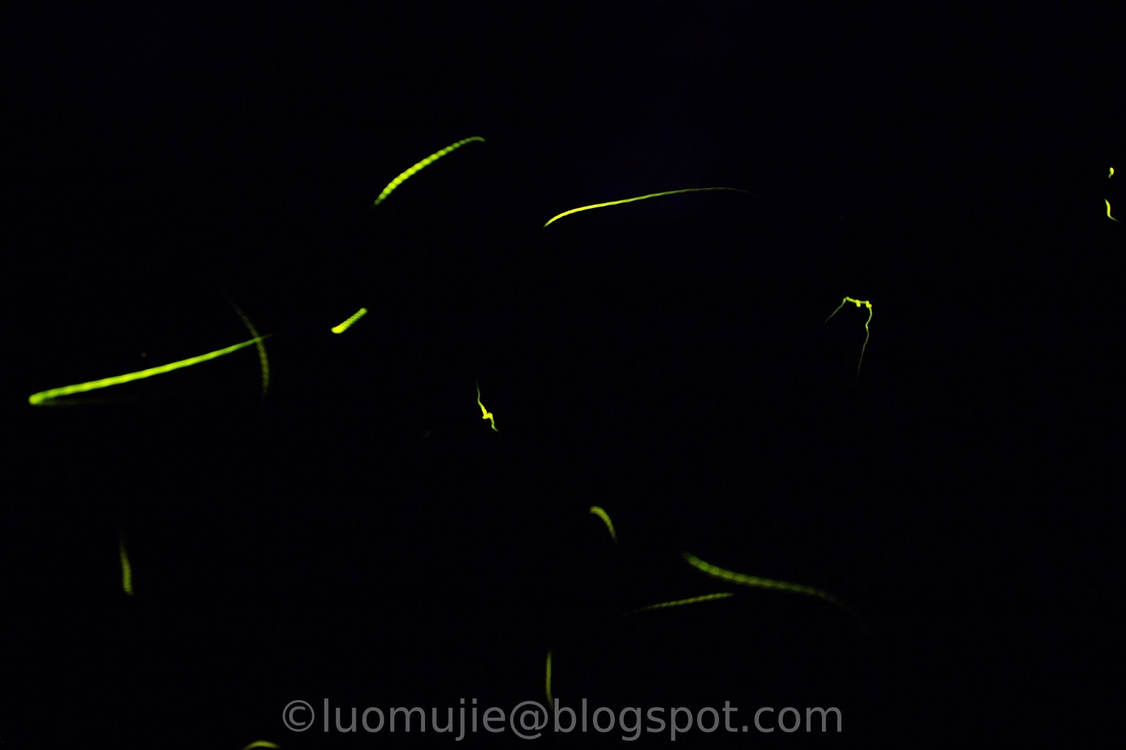
firefly watching

Yingge Ceramics Street
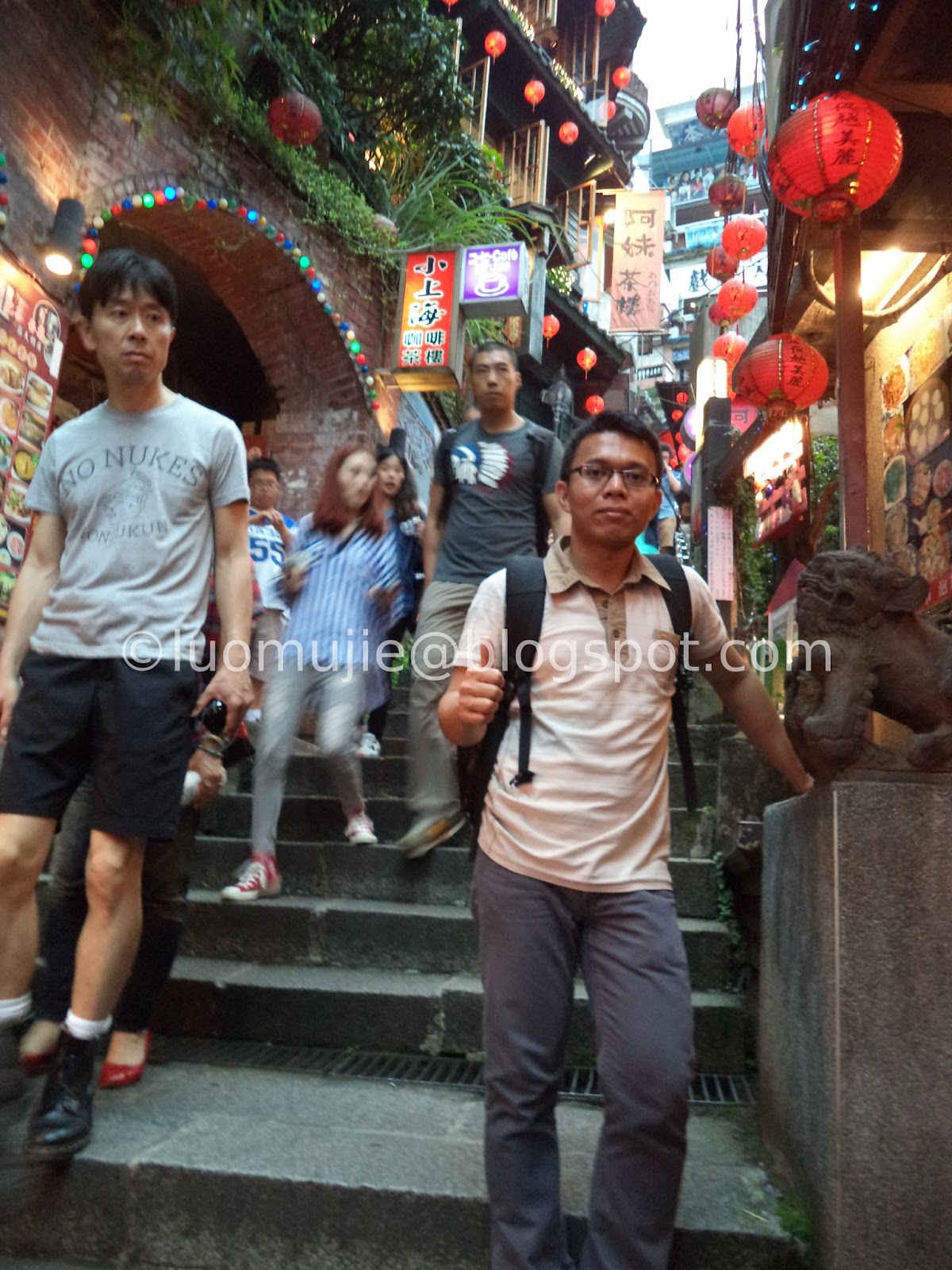
Jiufen tour


0 comments:
Post a Comment